Yeropol
The Yeropol (Russian: Еропол) is a river in Chukotka Autonomous Okrug, Russia. It has a length of 261 kilometres (162 mi) and a drainage basin of 10,700 square kilometres (4,100 sq mi).[2]
| Yeropol Еропол | |
|---|---|
 Mouth location in Chukotka, Russia | |
| Location | |
| Country | Russia |
| Federal subject | Chukotka Autonomous Okrug |
| District | Anadyrsky District |
| Physical characteristics | |
| Source | |
| • location | Oloy Range Kolyma Mountains |
| • coordinates | 64°50′57″N 165°22′42″E |
| • elevation | 618 m (2,028 ft) |
| Mouth | Anadyr |
• coordinates | 65°15′09″N 168°37′37″E[1] |
• elevation | 148 m (486 ft) |
| Length | 261 km (162 mi) |
| Basin size | 10,700 km2 (4,100 sq mi) |
| Basin features | |
| Progression | Anadyr→ Bering Sea |
The Yeropol is a right tributary of the Anadyr and its basin is in a mountainous area of Chukotka. The village of Chuvanskoye is located in the middle course of the river.[3] The name of the river originated in the Yukaghir language.[4]
History
The Yeropol river was known to Russian explorers since the 17th century.[5]
In 1984 two archeological sites were discovered in the upper reaches of the Yeropol. There are remains of different eras, ranging from the Mesolithic to the Neolithic.[6]
Course
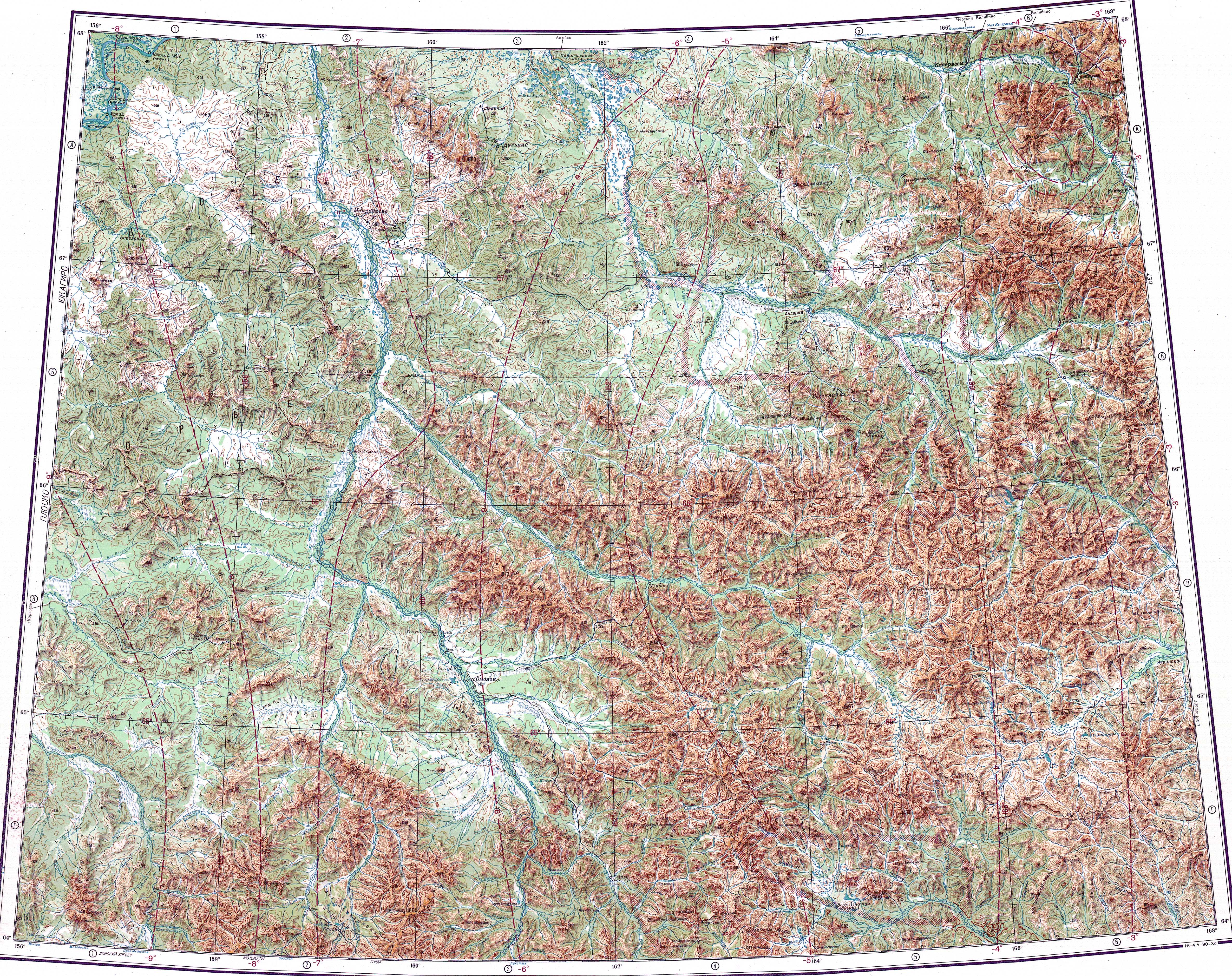
The source of the Yeropol is in the eastern section of the Oloy Range, 60 km (37 mi) to the south of 1,787 m (5,863 ft) high Mount Snezhnaya. The river heads first southeastwards in its upper course, then it bends and flows in a steady ENE direction until its mouth. In its last stretch it enters a plain bound by mountains on both sides, where it divides into multiple branches. Finally it joins the right bank of the Anadyr a little downstream from the mouth of the Yablon, 740 kilometres (460 mi) from its mouth.[1]
The main tributaries of the Yeropol are the 102 kilometres (63 mi) long Umkuveyem and 85 kilometres (53 mi) long Atakhayevskaya from the left.[2] The river and its tributaries are frozen for between eight and nine months every year.[4]
See also
References
- Google Earth
- Река Еропол (в верховье Ерополькрыткын) in the State Water Register of Russia (in Russian)
- "Топографска карта Q-57_58 - Topographic USSR Chart (in Russian)". Retrieved 4 March 2022.
- "Water of Russia - Анадырь". water-rf.ru. Retrieved 7 March 2022.
- Leontiev V.V., Novikova K.A. Toponymic dictionary of the North-East of the USSR / scientific. ed. G. A. Menovshchikov ; FEB AS USSR . North-East complex. Research Institute. Lab. archeology, history and ethnography. - Magadan: Magadan . book. publishing house , 1989. - p. 140. — ISBN 5-7581-0044-7
- М.А. Кирьяк (1986). Работы Западночукотского отряда (Археологические открытия 1984 года ed.). Москва. p. 178.