Wier, Netherlands
Wier is a village in Waadhoeke municipality in the province of Friesland, the Netherlands. It had a population of 210 in January 2017.[3]
Wier | |
|---|---|
Village | |
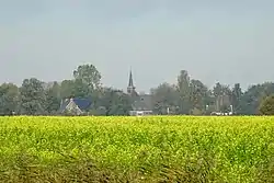 View on Wier | |
 Coat of arms | |
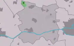 Location in Menameradiel municipality | |
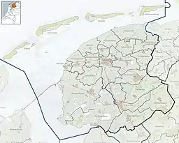 Wier Location in the Netherlands 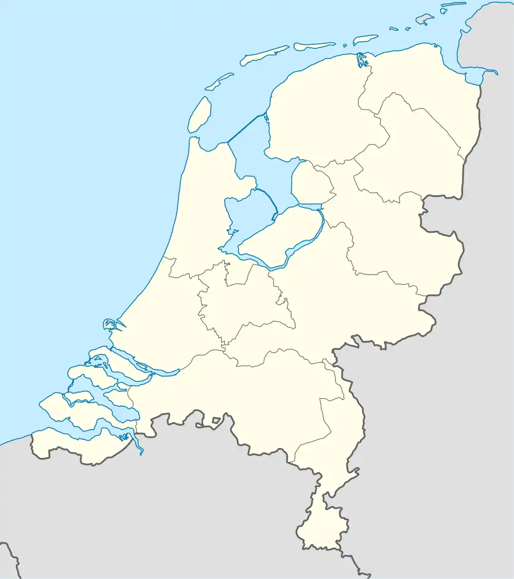 Wier Wier (Netherlands) | |
| Coordinates: | |
| Country | |
| Province | |
| Municipality | |
| Area | |
| • Total | 1.77 km2 (0.68 sq mi) |
| Elevation | 1.3 m (4.3 ft) |
| Population (2021)[1] | |
| • Total | 190 |
| • Density | 110/km2 (280/sq mi) |
| Postal code | 9043[1] |
| Dialing code | 0518 |
History
The village was first mentioned in the 13th century as Werue, and means terp (artificial living hill).[4] The terp probably dates from the beginning of our era and was located on the outskirts of the Middelzee. It was originally a fishing village, and was connected to Berlikum via a canal.[5]
The Dutch Reformed church was built in the 12th century. The tower dates from 1881. The church was restored in 2012. The church contains a unique astrarium which was created by an onderduiker (person in hiding) during World War II and donated to the church in 1946.[6]
The stins Lauta State was first mentioned in 1192. Around 1740, it was owned by Horatius Hiddema van Knijff, the grietman (mayor/judge) of Menaldumadeel. The population considered the taxes in the grietenij too high, and van Knijff was accused of conspiring with the French. On the night of 1 to 2 June 1748, there was a revolt and the angry population burnt down the estate. Van Knijff managed to flee. Only the tower remained standing until c. 1900 when it was demolished.[7]
When the Middelzee started to retreat, Wier turned into an agricultural community.[5] Wier was home to 258 people in 1840.[6] In 1981, a radar post was built in Wier as part of the NATO Integrated Air Defense System. In 2021, the installation was renewed, and the old tower was replaced.[8]
Before 2018, the village was part of the Menameradiel municipality.[6]
Gallery
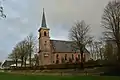 Protestant church
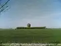 Radar installation (2008)
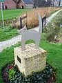 Cat statue
References
- "Kerncijfers wijken en buurten 2021". Central Bureau of Statistics. Retrieved 3 April 2022.
- "Postcodetool for 9043VL". Actueel Hoogtebestand Nederland (in Dutch). Het Waterschapshuis. Retrieved 3 April 2022.
- Feiten en cijfers - Menameradiel
- "Wier - (geografische naam)". Etymologiebank (in Dutch). Retrieved 3 April 2022.
- "Wier". Friesland Wonderland (in Dutch). Retrieved 3 April 2022.
- "Wier". Plaatsengids (in Dutch). Retrieved 3 April 2022.
- "Lauta State". Stinsen in Friesland (in Dutch). Retrieved 3 April 2022.
- "Radar Station Wier". Dutch Ministry of Defence (in Dutch). Retrieved 3 April 2022.
| Wikimedia Commons has media related to Wier. |