Unnan
Unnan (雲南市, Unnan-shi) is a city located in Shimane Prefecture, Japan, The city belonged to Ohara District which dissolved in 2004 after Unnan was established.
Unnan
雲南市 | |
|---|---|
 Unnan city hall | |
|
Flag Emblem | |
Location of Unnan in Shimane Prefecture | |
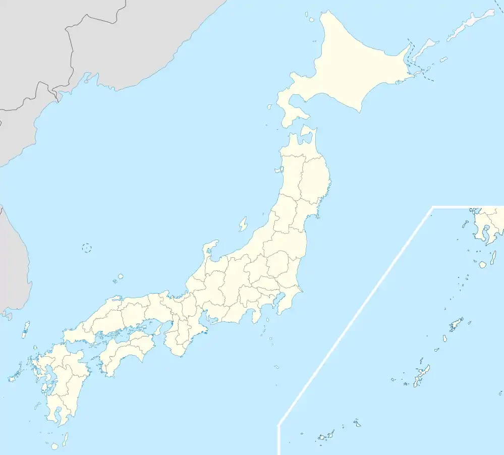 Unnan Location in Japan | |
| Coordinates: 35°17′N 132°54′E | |
| Country | Japan |
| Region | Chūgoku (San'in) |
| Prefecture | Shimane Prefecture |
| District | Ohara District (Dissolved in 2004) |
| Area | |
| • Total | 553.4 km2 (213.7 sq mi) |
| Population (March 1, 2017) | |
| • Total | 38,281 |
| • Density | 69/km2 (180/sq mi) |
| Time zone | UTC+09:00 (JST) |
| Climate | Cfa |
| Website | www |
The modern city of Unnan was established on November 1, 2004, from the merger of the towns of Daitō, Kamo and Kisuki (all from Ōhara District), the towns of Mitoya and Kakeya, and the village of Yoshida (all from Iishi District).
The city of Unnan has 6 wards which used to be the town's of Daitō, Kamo, Kisuki, Mitoya and Kakeya, and the village of Yoshida
As of March 1, 2017, the city had an estimated population of 38,281, and population density of 69 persons per km². The total area is 553.4 km2 (213.7 sq mi).
Tourist attractions in or near Unnan include Lake Shinji, Ushio Hot Springs, Matsue Shinji Furusato Forest Park, Ohara Dam , Okuizumoyumura Hot Springs, Okuizumotane Natural Museum, Hikawabijin Hot Spring, Akagawahotaru Park, Suga Shrine, Shimaneken Akashimidorigaoka Park, Kisuki Health Forest, Sajiroonsen Choja Hot Spring, Ancient Iron Kayokan, Historical Museum of Iron.
Neighbouring cities includes Izumo, Matsue (capital) and Oda, The closest airport to Unnan is Izumo Airport which serves the city of Izumo and the capital city of Matsue.
Geography
Climate
Unnan has a humid subtropical climate (Köppen climate classification Cfa) with very warm summers and cool winters. Precipitation is abundant throughout the year. The average annual temperature in Unnan is 13.4 °C (56.1 °F). The average annual rainfall is 1,952.6 mm (76.87 in) with July as the wettest month. The temperatures are highest on average in August, at around 25.3 °C (77.5 °F), and lowest in February, at around 2.4 °C (36.3 °F).[1] The highest temperature ever recorded in Unnan was 37.2 °C (99.0 °F) on 6 August 2021; the coldest temperature ever recorded was −9.7 °C (14.5 °F) on 26 February 1981.[2]
| Climate data for Kakeya, Unnan (1991−2020 normals, extremes 1978−present) | |||||||||||||
|---|---|---|---|---|---|---|---|---|---|---|---|---|---|
| Month | Jan | Feb | Mar | Apr | May | Jun | Jul | Aug | Sep | Oct | Nov | Dec | Year |
| Record high °C (°F) | 17.5 (63.5) |
22.2 (72.0) |
25.0 (77.0) |
31.0 (87.8) |
33.1 (91.6) |
34.9 (94.8) |
37.1 (98.8) |
37.2 (99.0) |
35.6 (96.1) |
31.6 (88.9) |
25.4 (77.7) |
21.3 (70.3) |
37.2 (99.0) |
| Average high °C (°F) | 6.3 (43.3) |
7.6 (45.7) |
11.9 (53.4) |
18.2 (64.8) |
23.3 (73.9) |
26.2 (79.2) |
29.6 (85.3) |
30.8 (87.4) |
26.1 (79.0) |
20.7 (69.3) |
15.2 (59.4) |
9.1 (48.4) |
18.7 (65.8) |
| Daily mean °C (°F) | 2.4 (36.3) |
3.0 (37.4) |
6.3 (43.3) |
11.8 (53.2) |
16.9 (62.4) |
20.6 (69.1) |
24.7 (76.5) |
25.3 (77.5) |
20.8 (69.4) |
14.9 (58.8) |
9.7 (49.5) |
4.8 (40.6) |
13.4 (56.2) |
| Average low °C (°F) | −0.8 (30.6) |
−1.0 (30.2) |
1.1 (34.0) |
5.5 (41.9) |
10.7 (51.3) |
15.7 (60.3) |
20.8 (69.4) |
21.1 (70.0) |
16.6 (61.9) |
10.1 (50.2) |
5.0 (41.0) |
1.1 (34.0) |
8.8 (47.9) |
| Record low °C (°F) | −8.0 (17.6) |
−9.7 (14.5) |
−6.4 (20.5) |
−3.8 (25.2) |
−0.1 (31.8) |
4.9 (40.8) |
8.2 (46.8) |
13.1 (55.6) |
4.0 (39.2) |
0.6 (33.1) |
−2.0 (28.4) |
−6.5 (20.3) |
−9.7 (14.5) |
| Average precipitation mm (inches) | 167.0 (6.57) |
139.2 (5.48) |
155.6 (6.13) |
123.2 (4.85) |
126.9 (5.00) |
186.5 (7.34) |
236.0 (9.29) |
157.0 (6.18) |
234.8 (9.24) |
131.2 (5.17) |
124.6 (4.91) |
170.8 (6.72) |
1,952.6 (76.87) |
| Average precipitation days (≥ 1.0 mm) | 19.2 | 15.9 | 15.1 | 11.4 | 9.9 | 11.9 | 12.9 | 11.2 | 12.0 | 10.5 | 12.6 | 18.5 | 161.1 |
| Mean monthly sunshine hours | 58.0 | 79.5 | 136.8 | 185.0 | 210.6 | 153.1 | 165.9 | 189.9 | 137.5 | 144.7 | 109.0 | 65.9 | 1,635.2 |
| Source: Japan Meteorological Agency[2][1] | |||||||||||||
International relations
References
- 気象庁 / 平年値(年・月ごとの値). JMA. Retrieved April 24, 2022.
- 観測史上1~10位の値(年間を通じての値). JMA. Retrieved April 24, 2022.
- Unnan population statistics