Terra Nova, Newfoundland and Labrador
Terra Nova is a village located southwest of Glovertown on the island of Newfoundland. It was served by the Canadian National Railway in the 1950s. The population in 2006 was 68, this from an historic low of just 28 in 1996. By 2016, the population had risen to 73, down slightly from the total of 83 recorded in 2011. There is a sizable leisure and summer population here seasonally as well as the stable permanent population. This community is a local service district, non tax district.
Terra Nova
New Land | |
|---|---|
Town | |
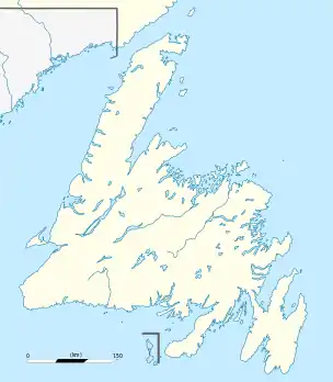 Terra Nova Location of Terra Nova in Newfoundland | |
| Coordinates: 48°30′N 54°13′W | |
| Country | |
| Province | |
| Population (2021) | |
| • Total | 99 |
| Time zone | UTC-3:30 (Newfoundland Time) |
| • Summer (DST) | UTC-2:30 (Newfoundland Daylight) |
| Area code(s) | 709 |
| Highways | |
Terra Nova is accessible from Route 1 (Trans-Canada Highway) via Route 301 (Terra Nova Road).
Demographics
In the 2021 Census of Population conducted by Statistics Canada, Terra Nova had a population of 99 living in 52 of its 164 total private dwellings, a change of 35.6% from its 2016 population of 73. With a land area of 2.44 km2 (0.94 sq mi), it had a population density of 40.6/km2 (105.1/sq mi) in 2021.[1]
References
- "Population and dwelling counts: Canada, provinces and territories, census divisions and census subdivisions (municipalities), Newfoundland and Labrador". Statistics Canada. February 9, 2022. Retrieved March 15, 2022.