Tell Hammam et-Turkman
Tell Hammam et-Turkman is an ancient Near Eastern tell site located in the Balikh River valley in Raqqa Governorate, northern Syria, not far from the Tell Sabi Abyad site and around 80 km north of the city of Raqqa. The Tell is located on the left bank of the Balikh and has a diameter of 500 m and is 45 m high. 500 m north is the modern village of Damešliyye.
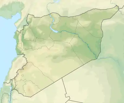 Shown within Syria 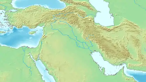 Tell Hammam et-Turkman (Near East) | |
| Location | Syria |
|---|---|
| Region | Al-Raqqah Governorate |
| Coordinates | 36°28′55.999″N 39°3′24.998″E |
| Type | tell |
| Length | 500 metre |
| Width | 500 metre |
| Height | 45 metre |
| Site notes | |
| Excavation dates | 1981; 1982; 1984; 1986; 1988; 1992; 1995; 1998; 2001 |
| Archaeologists | Maurits van Loon, Diederik Meijer |
The site was archaeologically examined by the Universities of Amsterdam and Leiden. Traces of settlement from the pre-Pottery Neolithic to the Roman and Parthian times can be identified. A total of ten settlement strata can be distinguished. The focus of research activities was on the layers attributable to the Middle Bronze Age.[1] Hammam et-Turkman is also known for a monumental building from the Uruk period. In the strata from 1200 B.C. BC a settlement gap for almost a millennium before the place was repopulated as a garrison site.
The historical name of the settlement is unknown. The original assumption that it could be the city of Zalpa, known from clay tablets, has not yet been confirmed.[2]
References
- Peter M. M. G. Akkermans: An updated chronology for the northern ubaid and late chalcolithic periods in Syria, new evidence Tell Hammam et-Turkman. In: Iraq. 50, 1988, S. 109–146.
- J. L. Miller: The location of Nihriya and its disassociation from Na’iri. In: H.D. Baker (Hrsg.): Stories of long ago. Münster 2012, S. 351 f.