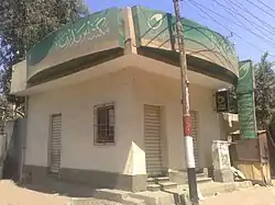
Tala, Egypt
Tala, sometimes also transliterated Talla[1] (Arabic: تلا), is a city in the northern part of Monufia Governorate, Egypt.[2]
Tala
تلا | |
|---|---|
city | |
 | |
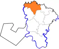 Location in Monufia Governorate | |
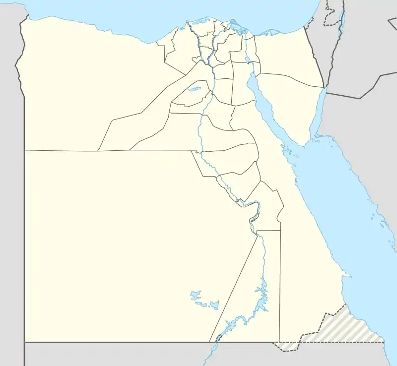 Tala Location in Egypt | |
| Coordinates: 30.680108°N 30.943758°E | |
| Country | |
| Governorate | Monufia |
| Time zone | UTC+2 (EST) |
| Climate | BWh |
The 1885 Census of Egypt recorded Tala as a city in its own district in Monufia Governorate; at that time, the population of the city was 9,653 (4,784 men and 4,869 women).[3] The village of Kafr Zarqan accounts for over 1,500 of these residents, according to the 2006 census.[4]
References
- "Talla, Egypt - Geographical Names, map, geographic coordinates".
- "Tala". Monofeya Egypt Govt. Archived from the original on 2018-02-23. Retrieved 2018-11-20.
- Egypt min. of finance, census dept (1885). Recensement général de l'Égypte. p. 302. Retrieved 21 June 2020.
- "الجهاز المركزى للتعبئة العامة والاحصاء". www.msrintranet.capmas.gov.eg. Retrieved 2021-05-24.
This article is issued from Wikipedia. The text is licensed under Creative Commons - Attribution - Sharealike. Additional terms may apply for the media files.