Taining County
Taining County (simplified Chinese: 泰宁县; traditional Chinese: 泰寧縣; pinyin: Tàiníng Xiàn) is a county in the northwest of Fujian province, People's Republic of China. It is the northernmost county-level division of the prefecture-level city of Sanming.
Taining County
泰宁县 | |
|---|---|
 Tongxin Bridge (同心桥) | |
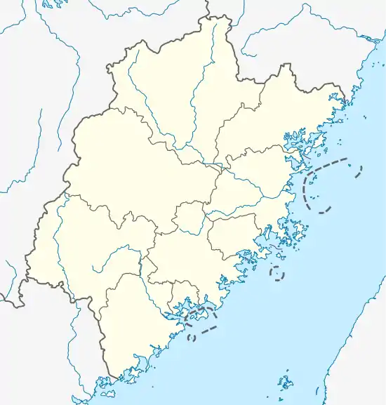 Taining Location in Fujian | |
| Coordinates: 26°54′01″N 117°10′33″E | |
| Country | People's Republic of China |
| Province | Fujian |
| Prefecture-level city | Sanming |
| Area | |
| • Total | 1,535 km2 (593 sq mi) |
| Population | |
| • Total | 130,000 |
| • Density | 85/km2 (220/sq mi) |
| Time zone | UTC+8 (China Standard) |
Area: 1,535 square kilometres (593 sq mi).
Population: 130,000.
Postal Code: 354400.
The county government is located in Shancheng town.
The local dialect is a dialect of Gan Chinese, although surrounding areas speak Min Chinese.
Transportation
Climate
| Climate data for Taining (1981−2010) | |||||||||||||
|---|---|---|---|---|---|---|---|---|---|---|---|---|---|
| Month | Jan | Feb | Mar | Apr | May | Jun | Jul | Aug | Sep | Oct | Nov | Dec | Year |
| Record high °C (°F) | 26.9 (80.4) |
32.1 (89.8) |
32.1 (89.8) |
34.5 (94.1) |
34.8 (94.6) |
37.3 (99.1) |
39.9 (103.8) |
39.6 (103.3) |
37.5 (99.5) |
36.3 (97.3) |
31.9 (89.4) |
27.4 (81.3) |
39.9 (103.8) |
| Average high °C (°F) | 12.7 (54.9) |
14.4 (57.9) |
17.7 (63.9) |
23.4 (74.1) |
27.4 (81.3) |
30.0 (86.0) |
33.4 (92.1) |
33.0 (91.4) |
30.1 (86.2) |
25.8 (78.4) |
20.5 (68.9) |
15.4 (59.7) |
23.6 (74.6) |
| Daily mean °C (°F) | 6.7 (44.1) |
8.8 (47.8) |
12.2 (54.0) |
17.6 (63.7) |
21.6 (70.9) |
24.6 (76.3) |
27.1 (80.8) |
26.5 (79.7) |
23.8 (74.8) |
19.0 (66.2) |
13.3 (55.9) |
8.0 (46.4) |
17.4 (63.4) |
| Average low °C (°F) | 3.1 (37.6) |
5.4 (41.7) |
8.8 (47.8) |
13.9 (57.0) |
17.9 (64.2) |
21.1 (70.0) |
22.7 (72.9) |
22.5 (72.5) |
20.0 (68.0) |
14.9 (58.8) |
9.2 (48.6) |
3.6 (38.5) |
13.6 (56.5) |
| Record low °C (°F) | −7.1 (19.2) |
−5.1 (22.8) |
−4.8 (23.4) |
2.0 (35.6) |
7.5 (45.5) |
11.9 (53.4) |
18.2 (64.8) |
16.2 (61.2) |
10.9 (51.6) |
2.2 (36.0) |
−3.6 (25.5) |
−10.6 (12.9) |
−10.6 (12.9) |
| Average precipitation mm (inches) | 79.6 (3.13) |
122.8 (4.83) |
219.1 (8.63) |
243.7 (9.59) |
259.0 (10.20) |
320.4 (12.61) |
130.8 (5.15) |
145.7 (5.74) |
90.2 (3.55) |
60.4 (2.38) |
63.9 (2.52) |
48.7 (1.92) |
1,784.3 (70.25) |
| Average relative humidity (%) | 86 | 87 | 88 | 86 | 85 | 85 | 80 | 82 | 83 | 82 | 84 | 83 | 84 |
| Source: China Meteorological Data Service Center | |||||||||||||

Cat Mountain in Taining
Administrative divisions
Towns:[1]
- Shancheng (杉城镇), Zhukou (朱口镇), Xiaqu Town (下渠镇)
Townships:
- Xinqiao Township (新桥乡), Shangqing Township (上青乡), Datian Township (大田乡), Meikou Township (梅口乡), Kaishan Township (开善乡), Dalong Township (大龙乡)
References
- "三明市-行政区划网 www.xzqh.org" (in Chinese). XZQH. Retrieved 2012-05-24.
External links
| Wikimedia Commons has media related to Taining County. |
This article is issued from Wikipedia. The text is licensed under Creative Commons - Attribution - Sharealike. Additional terms may apply for the media files.