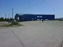
Stony Rapids Airport
Stony Rapids Airport (IATA: YSF, ICAO: CYSF) is located adjacent to Stony Rapids, Saskatchewan, Canada.
Stony Rapids Airport | |||||||||||
|---|---|---|---|---|---|---|---|---|---|---|---|
 | |||||||||||
| Summary | |||||||||||
| Airport type | Public | ||||||||||
| Operator | Ministry of Highways & Infrastructure | ||||||||||
| Location | Stony Rapids, Saskatchewan | ||||||||||
| Time zone | CST (UTC−06:00) | ||||||||||
| Elevation AMSL | 801 ft / 244 m | ||||||||||
| Coordinates | 59°15′01″N 105°50′29″W | ||||||||||
| Map | |||||||||||
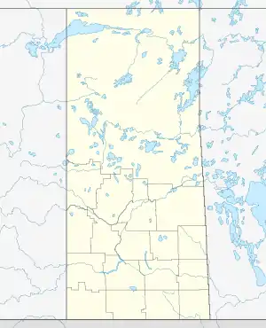 CYSF Location in Saskatchewan  CYSF CYSF (Canada) | |||||||||||
| Runways | |||||||||||
| |||||||||||
| Statistics (2010) | |||||||||||
| |||||||||||
On June 25, 2006, the airport was used to evacuate residents from northern Saskatchewan when Stony Rapids and other nearby communities were threatened by forest fires.[4]
Weather information
- Automated Weather Observation System (AWOS)
- Aviation Weather Cameras (WxCam)
Airlines and destinations
| Airlines | Destinations |
|---|---|
| Transwest Air | Fond-du-Lac, La Ronge, Points North, Prince Albert, Saskatoon, Wollaston Lake |
| West Wind Aviation | Fond-du-Lac, La Ronge, Points North, Prince Albert, Saskatoon, Uranium City, Wollaston Lake[5] |
See also
References
- Canada Flight Supplement. Effective 0901Z 16 July 2020 to 0901Z 10 September 2020.
- Synoptic/Metstat Station Information
- Total aircraft movements by class of operation
- Critic calls for new Sask. fire policy
- West Wind Aviation Scheduled Flights
External links
- Past three hours METARs, SPECI and current TAFs for Stony Rapids Airport from Nav Canada as available.
| By name | |
|---|---|
| By location indicator | |
| By province/territory | |
| By area | |
| National Airports System | |
| Related | |
| |
This article is issued from Wikipedia. The text is licensed under Creative Commons - Attribution - Sharealike. Additional terms may apply for the media files.