Southeast Maluku Regency
Southeast Maluku Regency (Indonesian: Kabupaten Maluku Tenggara) is a regency of Maluku, Indonesia. It is coincident with the Kei Islands, except that the city of Tual, although within the Kei Islands geographically and the seat of the Regency's administration, is technically independent of the Regency. The land area of the Regency is 1,031.81 km2, while the sea area administered by the regency was 3,181 km2; it had a population of 96,442 at the 2010 Census;[2] this increased to 127,843 at the 2020 Census.[3] The capital is located in Langgur.[4]
Southeast Maluku Regency
Kabupaten Maluku Tenggara | |
|---|---|
 Coat of arms | |
| Motto(s): Larvul Ngabal | |
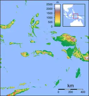
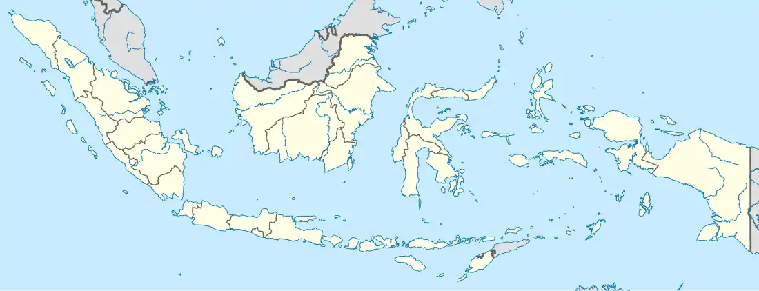
 Location within Maluku | |
| Coordinates: 5.6548°S 132.7394°E | |
| Country | Indonesia |
| Province | Maluku |
| Capital | Langgur |
| Government | |
| • Regent | M. Thaher Hanubun |
| • Vice Regent | Petrus Beruatwarin |
| Area | |
| • Total | 1,031.81 km2 (398.38 sq mi) |
| Population (2020 Census)[1] | |
| • Total | 127,843 |
| • Density | 120/km2 (320/sq mi) |
| Time zone | UTC+9 (IEST) |
| Area code | (+62) 916 |
| Website | malukutenggarakab |
Administrative Districts
At the time of the 2010 Census the regency was divided into six districts (kecamatan), but by 2016 five additional districts had been created by the division of the existing districts. These are tabulated below with their land and sea areas and their populations at the 2010 Census[5] and the 2020 Census.[6] The table also includes the location of the district administrative centres, the number of administrative villages in each district (a total of 185 rural desa and 6 urban kelurahan) and its postal code.
| Name | English name | Land area in km2 | Sea area in km2 | Population Census 2010 | Population Census 2020 | Admin centre | Number of villages | Post code |
|---|---|---|---|---|---|---|---|---|
| Kei Kecil (a) | Little Kei | 109.27 | 283.23 | 40,336 | 34,421 | Langgur | 15 | 97622 |
| Kei Kecil Barat (b) | West Little Kei | 95.76 | 870.27 | 5,728 | 7,884 | Ohoira | 10 | 97624 |
| Kei Kecil Timur (c) | East Little Kei | 68.26 | 85.81 | 10,674 | 8,812 | Rumat | 18 | 97625 |
| Hoat Sorbay | 82.28 | 22.62 | (d) | 10,354 | Tetoat | 13 | 97621 | |
| Manyeuw | 61.93 | 231.93 | (d) | 6,326 | Rumahdian | 9 | 97623 | |
| Kei Kecil Timur Selatan | Southeast Little Kei | 55.48 | 125.49 | (e) | 5,969 | Danar Ternate | 11 | 97626 |
| Total Kei Kecil | Little Kei | 472.98 | 1,419.35 | 56,738 | 73,766 | 76 | ||
| Kei Besar (f) | Great Kei | 112.97 | 371.21 | 22,489 | 19,804 | Elat | 37 | 97631 |
| Kei Besar Utara Timur (g) | Northeast Great Kei | 167.09 | 351.62 | 9,626 | 12,903 | Hollat | 30 | 97635 |
| Kei Besar Selatan (h) | South Great Kei | 78.83 | 325.32 | 7,589 | 7,532 | Weduar | 10 | 97632 |
| Kei Besar Utara Barat | Northwest Great Kei | 157.81 | 353.55 | (i) | 9,998 | Uwat Reyaan | 25 | 97634 |
| Kei Besar Selatan Barat | Southwest Great Kei | 42.13 | 159.68 | (j) | 3,840 | Rahangiar | 13 | 97633 |
| Total Kei Besar | Great Kei | 558.83 | 1,561.38 | 39,704 | 54,077 | 115 |
Notes: (a) includes 33 offshore islands. (b) includes 16 offshore islands. (c) includes 2 offshore islands. (d) the 2010 population of Hoat Sorbay and Manyeuw Districts were included in the figure for Kei Kecil District, from which they were split off. (e) the 2010 population of Kei Kecil Timur Selatan District was included in the figure for Kei Kecil Timur District, from which it was split off.
(f) includes 10 offshore islands. (g) includes 3 offshore islands. (h) includes 8 offshore islands. (i) the 2010 population of Kei Besar Utara Barat District was included in the figure for Kei Besar District, from which it was split off. (j) the 2010 population of Kei Besar Selatan Barat District was included in the figure for Kei Besar Selatan District, from which it was split off.
Transport

A small airport named Dumatubun Airport located in Langgur urban midwest.
Climate
Langgur, the seat of the regency has a tropical rainforest climate (Af) with moderate rainfall from July to October and heavy to very heavy rainfall from November to June.
| Climate data for Langgur | |||||||||||||
|---|---|---|---|---|---|---|---|---|---|---|---|---|---|
| Month | Jan | Feb | Mar | Apr | May | Jun | Jul | Aug | Sep | Oct | Nov | Dec | Year |
| Average high °C (°F) | 30.0 (86.0) |
30.0 (86.0) |
30.3 (86.5) |
30.9 (87.6) |
30.7 (87.3) |
29.7 (85.5) |
29.2 (84.6) |
29.6 (85.3) |
30.8 (87.4) |
31.5 (88.7) |
31.7 (89.1) |
30.8 (87.4) |
30.4 (86.8) |
| Daily mean °C (°F) | 27.2 (81.0) |
27.3 (81.1) |
27.3 (81.1) |
27.7 (81.9) |
27.6 (81.7) |
26.8 (80.2) |
26.1 (79.0) |
26.3 (79.3) |
27.1 (80.8) |
27.8 (82.0) |
28.1 (82.6) |
27.6 (81.7) |
27.2 (81.0) |
| Average low °C (°F) | 24.5 (76.1) |
24.6 (76.3) |
24.4 (75.9) |
24.5 (76.1) |
24.5 (76.1) |
24.0 (75.2) |
23.1 (73.6) |
23.1 (73.6) |
23.4 (74.1) |
24.1 (75.4) |
24.6 (76.3) |
24.5 (76.1) |
24.1 (75.4) |
| Average rainfall mm (inches) | 394 (15.5) |
338 (13.3) |
349 (13.7) |
275 (10.8) |
237 (9.3) |
154 (6.1) |
101 (4.0) |
72 (2.8) |
66 (2.6) |
75 (3.0) |
162 (6.4) |
332 (13.1) |
2,555 (100.6) |
| Source: Climate-Data.org[7] | |||||||||||||
References
- Badan Pusat Statistik, Jakarta, 2021.
- Biro Pusat Statistik, Jakarta, 2011.
- Badan Pusat Statistik, Jakarta, 2021.
- Peraturan Pemerintah Republik Indonesia Nomor 35 Tahun 2011 Tentang Pemindahan Ibu Kota Kabupaten Maluku Tenggara Dari Wilayah Kota Tual Ke Wilayah Kecamatan Kei Kecil Kabupaten Maluku Tenggara Provinsi Maluku Archived 2012-04-02 at the Wayback Machine
- Biro Pusat Statistik, Jakarta, 2011.
- Badan Pusat Statistik, Jakarta, 2021.
- "Climate: Langgur". Climate-Data.org. Retrieved 23 November 2020.
External links
| Wikimedia Commons has media related to Southeast Maluku Regency. |