Sankt Peter am Hart
St. Peter am Hart, also Sankt Peter am Hart is a municipality in the district of Braunau am Inn in the Austrian state of Upper Austria.
Sankt Peter am Hart | |
|---|---|
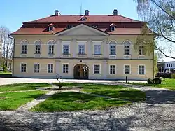 Bogenhofen palace | |
 Coat of arms | |
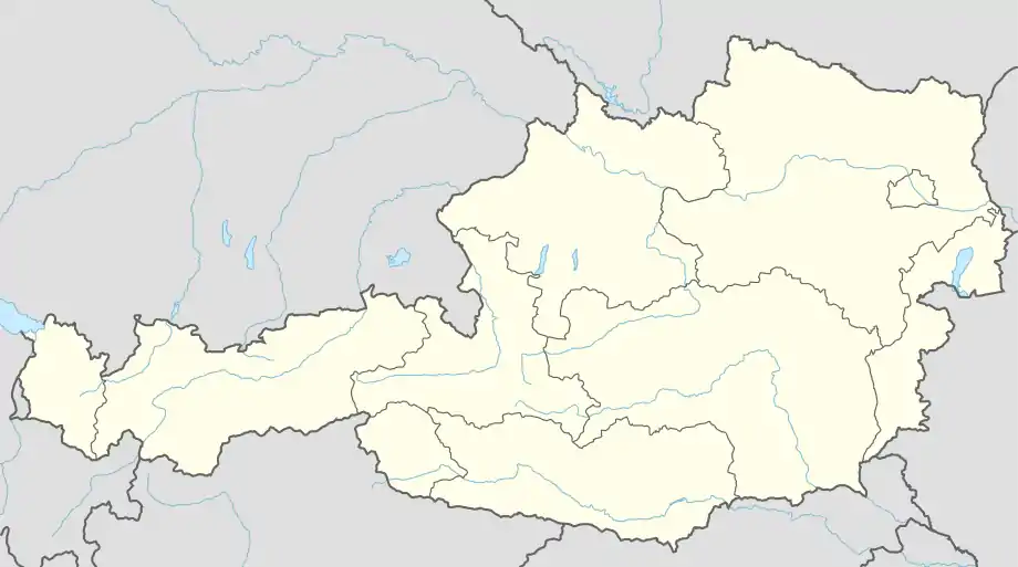 Sankt Peter am Hart Location within Austria | |
| Coordinates: 48°15′15″N 13°05′40″E | |
| Country | Austria |
| State | Upper Austria |
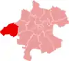
| District | Braunau am Inn |
| Government | |
| • Mayor | Robert Wimmer (ÖVP) |
| Area | |
| • Total | 22.91 km2 (8.85 sq mi) |
| Elevation | 372 m (1,220 ft) |
| Population (2018-01-01)[2] | |
| • Total | 2,447 |
| • Density | 110/km2 (280/sq mi) |
| Time zone | UTC+1 (CET) |
| • Summer (DST) | UTC+2 (CEST) |
| Postal code | 4963 |
| Area code | 07722 |
| Vehicle registration | BR |
| Website | www.st-peter-hart.ooe.gv.at |
Geography
Sankt Peter lies in the Innviertel. About 15 percent of the municipality is forest and 63 percent farmland.
Localities
- Aching (80)
- Aham (55)
- Aselkam (174)
- Bergham (145)
- Bogenhofen (322)
- Dietfurt (219)
- Guggenberg (9)
- Hagenau (192)
- Hart (18)
- Heitzenberg (25)
- Hundslau (5)
- Jahrsdorf (183)
- Meinharting (8)
- Moos (136)
- Nöfing (106)
- Ofen (87)
- Reikersdorf (270)
- Schickenedt (14)
- Spraid (14)
- St. Peter am Hart (351)
- Wimm (9)
See also
References
- "Dauersiedlungsraum der Gemeinden Politischen Bezirke und Bundesländer - Gebietsstand 1.1.2018". Statistics Austria. Retrieved 10 March 2019.
- "Einwohnerzahl 1.1.2018 nach Gemeinden mit Status, Gebietsstand 1.1.2018". Statistics Austria. Retrieved 9 March 2019.
| Wikimedia Commons has media related to Sankt Peter am Hart. |
This article is issued from Wikipedia. The text is licensed under Creative Commons - Attribution - Sharealike. Additional terms may apply for the media files.