Sangamner
Sangamner is a city and a municipal council located in the Ahmednagar District of Maharashtra state in India. Situated on the Pravara River, it derives its name from the site of the sangam (confluence) of three rivers in the area: Pravara, Mhalungi, and Adhala.
Sangamner | |
|---|---|
city | |
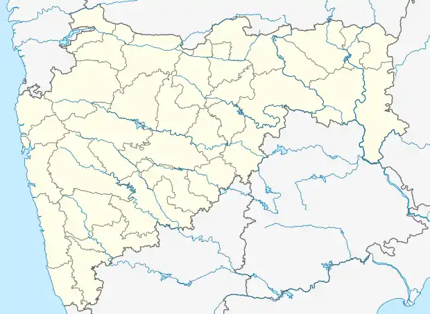 Sangamner Location in Maharashtra, India | |
| Coordinates: 19.57°N 74.22°E | |
| Country | |
| State | Maharashtra |
| District | Ahmadnagar |
| Elevation | 549 m (1,801 ft) |
| Population (2019) | |
| • Total | 7 lakhs |
| Languages | |
| • Official | Marathi |
| Time zone | UTC+5:30 (IST) |
| PIN | 422605 |
| Telephone code | 02425 |
| Vehicle registration | MH 17 |
| Website | sangamnermc |
Industries include a cloth market, educational facilities, a sugar factory, agriculture, and tobacco products known as Gaichap Jarda. Sangamner is the second largest city in the district after the city of Ahmednagar and is famous for its huge market (cloth, groceries, electronics, automobiles, jewellery) as well as educational facilities, milk processing industries. Sangamner is also known as "Hospital hub" of the district.
The city enjoys central location (at the centre of Mumbai, Pune & Aurangabad) & is only 2hrs from Nasik on the Pune Nasik national highway. Famous for sugarcane farming, Sangamner is now known as Tomato as well as pomegranate hub. The 'Krushi Utpanna Bazar Samiti' of Sangamner is considered one of the major markets in the country.
Known for high traffic city of the district, Nasik-Pune railway is under proposal with major terminal at the Sangamner city. Due to its central location, the bus stand of the city is open 24 hours with good public transport. MSRTC terminal at Sangamner is one of the high-tech bus station in Maharashtra state. Buses of Gujarat, Karnataka and Madhya Pradesh ply everyday.
Geography
Sangamner is located at 19.57°N 74.22°E,[1] on the banks of the Pravara River. It has an average elevation of 549 metres (1,801 ft)from mean sea level. Sangamner is the biggest settlement on NH 50 (New NH-60) between Pune (143 km distance) and Nashik (69 km distance). It is about 230 km from financial capital of India, Mumbai. On 15 August 2014, newly constructed by-pass was opened for traffic (9.5 km) which saves about 30.0 min of commute time. In recent years, the city outskirts has been developed tremendously. Kalsubai, the highest peak in Maharashtra is 68 km from Sangamner. It is the most developed city, largest market place (bazarpeth) in district after Ahemadnagar city.
Demographics
As of 2011 India census, Sangamner had a population of 65,804. Males constituted 51% of the population and females 49%. Sangamner has an average literacy rate of 90.86%, higher than the state average of 82.34%: male literacy is 94%, and female literacy is 87%.
References
External links
Ahmednagar district topics | ||
|---|---|---|
| History | .svg.png.webp) | |
| Geography | ||
| Talukas | ||
| Cities and towns | ||
| Monuments | ||
| Education | ||
| Lok Sabha constituencies | ||
| Vidhan Sabha constituencies | ||
| Dams in District | ||