Saint-Hilaire-la-Gravelle
Saint-Hilaire-la-Gravelle is a commune in the Loir-et-Cher department of central France.[3]
Saint-Hilaire-la-Gravelle | |
|---|---|
Commune | |
 The Loir | |
.svg.png.webp) Coat of arms | |
Location of Saint-Hilaire-la-Gravelle 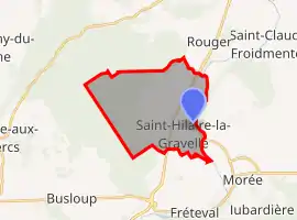 | |
 Saint-Hilaire-la-Gravelle 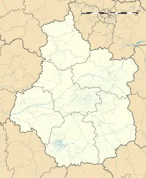 Saint-Hilaire-la-Gravelle | |
| Coordinates: 47°55′31″N 1°12′27″E | |
| Country | France |
| Region | Centre-Val de Loire |
| Department | Loir-et-Cher |
| Arrondissement | Vendôme |
| Canton | Le Perche |
| Intercommunality | Perche et Haut Vendômois |
| Government | |
| • Mayor (2020–2026) | Rémi Penais[1] |
| Area 1 | 17.57 km2 (6.78 sq mi) |
| Population | 685 |
| • Density | 39/km2 (100/sq mi) |
| Time zone | UTC+01:00 (CET) |
| • Summer (DST) | UTC+02:00 (CEST) |
| INSEE/Postal code | 41214 /41160 |
| Elevation | 87–172 m (285–564 ft) (avg. 92 m or 302 ft) |
| 1 French Land Register data, which excludes lakes, ponds, glaciers > 1 km2 (0.386 sq mi or 247 acres) and river estuaries. | |
Population
|
|
References
- "Répertoire national des élus: les maires". data.gouv.fr, Plateforme ouverte des données publiques françaises (in French). 9 August 2021.
- "Populations légales 2019". The National Institute of Statistics and Economic Studies. 29 December 2021.
- INSEE commune file
| Wikimedia Commons has media related to Saint-Hilaire-la-Gravelle. |
This article is issued from Wikipedia. The text is licensed under Creative Commons - Attribution - Sharealike. Additional terms may apply for the media files.