Sânger
Sânger (Hungarian: Mezőszengyel [ˈmɛzøːsɛɲɟɛl]) is a commune in Mureș County, Transylvania, Romania that is composed of seven villages:
| In Romanian | In Hungarian |
|---|---|
| Bârza | Borza |
| Cipăieni[a] | Keménytelke |
| Dalu | Fodorkút |
| Pripoare | Pripora |
| Sânger | Mezőszengyel |
| Vălișoara | Sárkihíd |
| Zăpodea | Zapodia |
Sânger | |
|---|---|
.JPG.webp) Panoramic view of Sânger | |
 Coat of arms | |
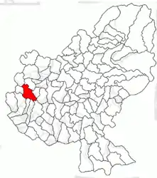 Location in Mureș County | |
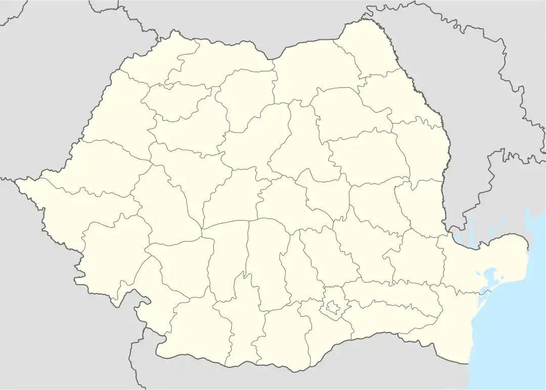 Sânger Location in Romania | |
| Coordinates: 46.55°N 24.13°E | |
| Country | Romania |
| County | Mureș |
| Government | |
| • Mayor (2020–2024) | Alexandru Măgheran (PNL) |
| Area | 51.51 km2 (19.89 sq mi) |
| Elevation | 312 m (1,024 ft) |
| Population (2011)[1] | 2,400 |
| • Density | 47/km2 (120/sq mi) |
| Time zone | EET/EEST (UTC+2/+3) |
| Postal code | 547540 |
| Area code | (+40) 02 65 |
| Vehicle reg. | MS |
| Website | comunasanger |
^ Until 1996 Chimitelnic.
Sânger lies on the Transylvanian Plateau. It is located in the western part of Mureș County, 9 km (5.6 mi) north of the town of Luduș and 43 km (27 mi) west of the county seat, Târgu Mureș.
In 2002, the commune had a population of 2,530, of which 87% were Romanians, 7% Hungarians, and 6% Roma.
Natives
References
.JPG.webp) Sânger-Chimitelnic Monastery
Sânger-Chimitelnic Monastery.JPG.webp) Reformed church in Sânger
Reformed church in Sânger

This article is issued from Wikipedia. The text is licensed under Creative Commons - Attribution - Sharealike. Additional terms may apply for the media files.