Roum, Lebanon
Roum (Arabic: روم) is a village located in the Jezzine District of the South Governorate in Lebanon.[1]
Roum
روم | |
|---|---|
Village | |
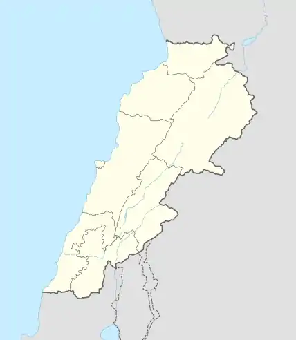 Roum Location in Lebanon | |
| Coordinates: 33°33′2.88″N 35°31′46.45″E | |
| Country | |
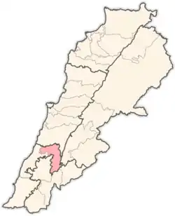
| Governorate | South Governorate |
| District | Jezzine |
| Elevation | 2,890 ft (880 m) |
| Time zone | UTC+2 (EET) |
| • Summer (DST) | +3 |
History
Roum takes its name from Ancient Rome, when it was part of the Byzantine Empire. The village which is located at the Roum fault was the epicentre of the Galilee earthquake, which struck the area on 1 January 1837.[2]
References
- "Roum". Localiban. Localiban. 2007-07-25. Retrieved 2022-05-01.
- Nemer T.; Meghraoui M. (2006). "Evidence of coseismic ruptures along the Roum fault (Lebanon): a possible source for the AD 1837 earthquake". Journal of Structural Geology. 28 (8): 1483–1495. Bibcode:2006JSG....28.1483N. doi:10.1016/j.jsg.2006.03.038.
Capital: Jezzine | ||
| Towns and villages |
|  |
This article is issued from Wikipedia. The text is licensed under Creative Commons - Attribution - Sharealike. Additional terms may apply for the media files.