Queensburgh
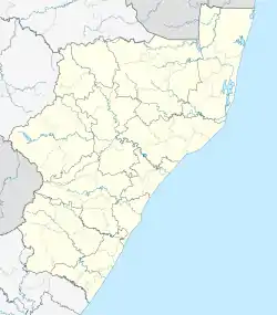
Queensburgh is a town in KwaZulu-Natal, South Africa that is situated inland (southwest) from Durban and now forms part of eThekwini, the Greater Durban metropolitan area.
Queensburgh | |
|---|---|
 Queensburgh 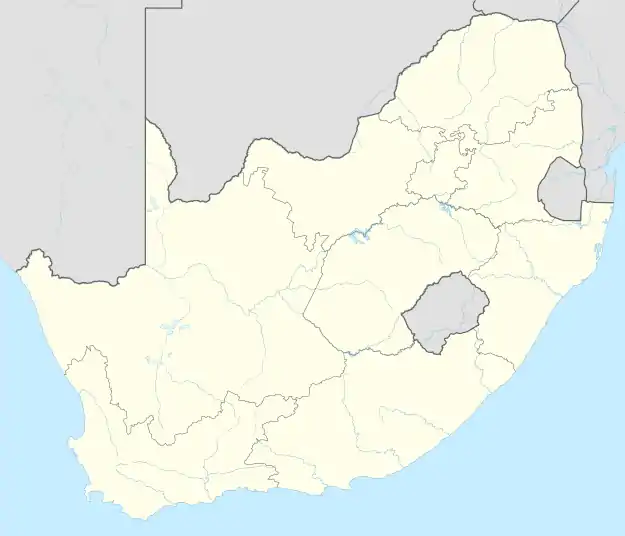 Queensburgh | |
| Coordinates: 29°52′S 30°56′E | |
| Country | South Africa |
| Province | KwaZulu-Natal |
| Municipality | eThekwini |
| Area | |
| • Total | 22.88 km2 (8.83 sq mi) |
| Population (2011)[1] | |
| • Total | 54,846 |
| • Density | 2,400/km2 (6,200/sq mi) |
| Racial makeup (2011) | |
| • Black African | 23.8% |
| • Coloured | 1.6% |
| • Indian/Asian | 53.8% |
| • White | 20.2% |
| • Other | 0.6% |
| First languages (2011) | |
| • English | 70.0% |
| • Zulu | 14.3% |
| • Afrikaans | 7.5% |
| • Xhosa | 4.3% |
| • Other | 4.0% |
| Time zone | UTC+2 (SAST) |
| Postal code (street) | 4093 |
| PO box | 4070 |
History
The hilly area was settled by people working in Durban who wanted to escape the humidity of the coastal city. In 1924, four residential townships in the area, Malvern, Escombe, Northdene and Moseley combined to form the town of Malvern. In 1952, to celebrate Queen Elizabeth II's accession to the throne, Malvern received municipality status and changed its name to Queensburgh.
Road network
Queensburgh is served by an arterial road called Sarnia Road that begins at Solomon Mahlangu drive (formerly Edwin Swales Drive) in the southernmost part and traverses the localities of Sea View, Bellair, Malvern, Escombe, Northdene and Moseley. The area is also served by the M7 highway (Solomon Mahlangu Drive) which connects to the N3 highway and Pinetown in the north and the N2 highway and the Bluff in the south.[2]
Demographics
Queensburgh has a diverse population. The suburb has a significant Indian population who moved to the area from neighbouring townships after apartheid had ended.
English is the dominant language followed by Zulu, Afrikaans and Xhosa.
References
- "Main Place Queensburgh". Census 2011.
- "Queensburgh Map". m.travelground.com. Retrieved 18 January 2021.
.svg.png.webp)