Prairie Elk Colony, Montana
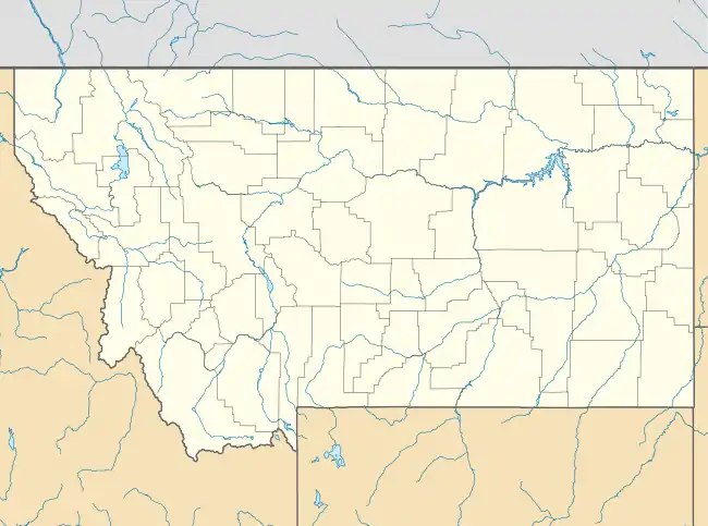
Prairie Elk Colony is a Hutterite community[3] and census-designated place (CDP) in McCone County, Montana, United States. It is on the northern edge of the county, just south of the Missouri River, which forms the county line. By road it is 20 miles (32 km) southwest of Wolf Point, the nearest town.
Prairie Elk Colony, Montana | |
|---|---|
 Prairie Elk Colony  Prairie Elk Colony | |
| Coordinates: 48°0′51″N 105°47′49″W | |
| Country | United States |
| State | Montana |
| County | McCone |
| Area | |
| • Total | 0.35 sq mi (0.90 km2) |
| • Land | 0.35 sq mi (0.90 km2) |
| • Water | 0.0 sq mi (0.0 km2) |
| Elevation | 2,040 ft (620 m) |
| Time zone | UTC-7 (Mountain (MST)) |
| • Summer (DST) | UTC-6 (MDT) |
| ZIP Code | 59201 (Wolf Point) |
| Area code(s) | 406 |
| FIPS code | 30-59650 |
| GNIS feature ID | 2806640[2] |
The community was first listed as a CDP prior to the 2020 census.[2]
References
- "2020 U.S. Gazetteer Files – Montana". United States Census Bureau. Retrieved June 11, 2021.
- "Prairie Elk Colony Census Designated Place". Geographic Names Information System. United States Geological Survey.
- Morton, Claudette, ed. (2010). Essential Understandings of Montana Hutterites: A Resource for Educators and Students (PDF). Montana Office of Public Instruction. p. 2. Retrieved June 11, 2021.
Municipalities and communities of McCone County, Montana, United States | ||
|---|---|---|
| Town | 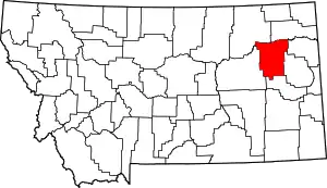 McCone County map | |
| CDPs | ||
| Indian reservation | ||
| Footnotes | ‡This populated place also has portions in an adjacent county or counties | |
| ||
This article is issued from Wikipedia. The text is licensed under Creative Commons - Attribution - Sharealike. Additional terms may apply for the media files.