Pierre-Châtel
Pierre-Châtel is a commune in the Isère department in southeastern France.[3]
Pierre-Châtel | |
|---|---|
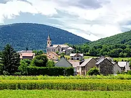 A general view of Pierre-Châtel | |
 Coat of arms | |
Location of Pierre-Châtel 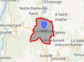 | |
 Pierre-Châtel 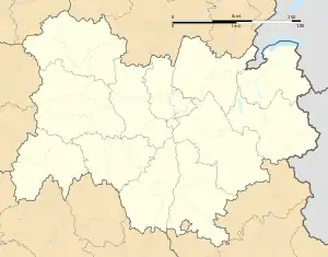 Pierre-Châtel | |
| Coordinates: 44°57′28″N 5°46′35″E | |
| Country | France |
| Region | Auvergne-Rhône-Alpes |
| Department | Isère |
| Arrondissement | Grenoble |
| Canton | Matheysine-Trièves |
| Intercommunality | La Matheysine |
| Government | |
| • Mayor (2020–2026) | Alain Villard[1] |
| Area 1 | 11 km2 (4 sq mi) |
| Population | 1,493 |
| • Density | 140/km2 (350/sq mi) |
| Time zone | UTC+01:00 (CET) |
| • Summer (DST) | UTC+02:00 (CEST) |
| INSEE/Postal code | 38304 /38119 |
| Elevation | 888–1,424 m (2,913–4,672 ft) (avg. 916 m or 3,005 ft) |
| 1 French Land Register data, which excludes lakes, ponds, glaciers > 1 km2 (0.386 sq mi or 247 acres) and river estuaries. | |
Geography
Lac de Pierre-Châtel and the Pierre Percée are located in the commune.
Population
|
|
Personalities
Peter II of Savoy and Boniface I of Challant died in Pierre-Châtel, respectively in 1268 and 1426.
See also
References
- "Répertoire national des élus: les maires". data.gouv.fr, Plateforme ouverte des données publiques françaises (in French). 2 December 2020.
- "Populations légales 2019". The National Institute of Statistics and Economic Studies. 29 December 2021.
- INSEE commune file
| Wikimedia Commons has media related to Pierre-Châtel. |
This article is issued from Wikipedia. The text is licensed under Creative Commons - Attribution - Sharealike. Additional terms may apply for the media files.