Petrov nad Desnou
Petrov nad Desnou (until 1955 Petrovice nad Desnou; German: Petersdorf an der Tess) is a municipality and village in Šumperk District in the Olomouc Region of the Czech Republic. It has about 1,200 inhabitants.
Petrov nad Desnou | |
|---|---|
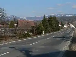 Road no. 11, Hrubý Jeseník in the background | |
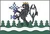 Flag 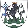 Coat of arms | |
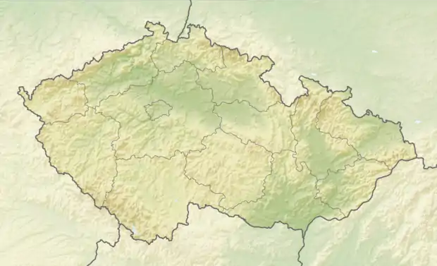 Petrov nad Desnou Location in the Czech Republic | |
| Coordinates: 50°0′20″N 17°2′40″E | |
| Country | |
| Region | Olomouc |
| District | Šumperk |
| First mentioned | 1354 |
| Area | |
| • Total | 12.09 km2 (4.67 sq mi) |
| Elevation | 365 m (1,198 ft) |
| Population (2021-01-01)[1] | |
| • Total | 1,236 |
| • Density | 100/km2 (260/sq mi) |
| Time zone | UTC+1 (CET) |
| • Summer (DST) | UTC+2 (CEST) |
| Postal codes | 788 14, 788 16 |
| Website | www |
Administrative parts
The village of Terezín is an administrative part of Petrov nad Desnou.
Geography
Petrov nad Desnou lies approximately 7 kilometres (4 mi) north-east of Šumperk, 48 km (30 mi) north-west of Olomouc, and 189 km (117 mi) east of Prague.
Petrov nad Desnou lies on the Desná River. The municipality is situated in the Hanušovice Highlands.
History
The first written mention of Petrov nad Desnou is from 1354. From 1980 to 2009, it was part of Sobotín. On 1 January 2010 Petrov nad Desnou became separate municipality.[2]
References
- "Population of Municipalities – 1 January 2021". Czech Statistical Office. 30 April 2021.
- "O obci" (in Czech). Obec Petrov nad Desnou. Retrieved 24 January 2022.
| Wikimedia Commons has media related to Petrov nad Desnou. |
This article is issued from Wikipedia. The text is licensed under Creative Commons - Attribution - Sharealike. Additional terms may apply for the media files.