Panorama Ridge
Panorama Ridge is a mountain ridge in the Garibaldi Ranges of the Pacific Ranges in southwestern British Columbia, Canada. It is located on the north side of Garibaldi Lake in Garibaldi Provincial Park.[1]
| Panorama Ridge | |
|---|---|
 Panorama Ridge | |
| Highest point | |
| Elevation | 2,133 m (6,998 ft) |
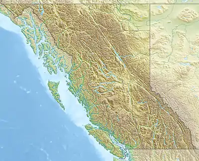
| Coordinates | 49°57′14″N 123°00′50″W |
| Geography | |
| Country | Canada |
| Province | British Columbia |
| District | New Westminster Land District |
| Protected area | Garibaldi Provincial Park |
| Parent range | Garibaldi Ranges |
| Topo map | NTS 92G14 Cheakamus River |
Panorama Ridge was named around 1912 by William J. Gray, a Canadian geologist from Vancouver who took most of his panoramic photos on the ridge.[1]
References
- "Panorama Ridge". BC Geographical Names. Retrieved 2021-08-05.
External links
- "Panorama Ridge". Geographical Names Data Base. Natural Resources Canada. Retrieved 2021-08-05.
This article is issued from Wikipedia. The text is licensed under Creative Commons - Attribution - Sharealike. Additional terms may apply for the media files.