Paharpur, Bakshi Ka Talab
Paharpur is a village in Bakshi Ka Talab block of Lucknow district, Uttar Pradesh, India.[2] As of 2011, its population is 2,545, in 485 households.[2] It is the seat of a gram panchayat, which also includes the village of Mohammadpur Saraia.[3]
Paharpur
Pahārpur | |
|---|---|
Village | |
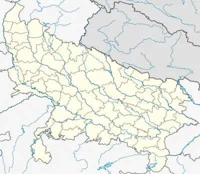 Paharpur Location in Uttar Pradesh, India 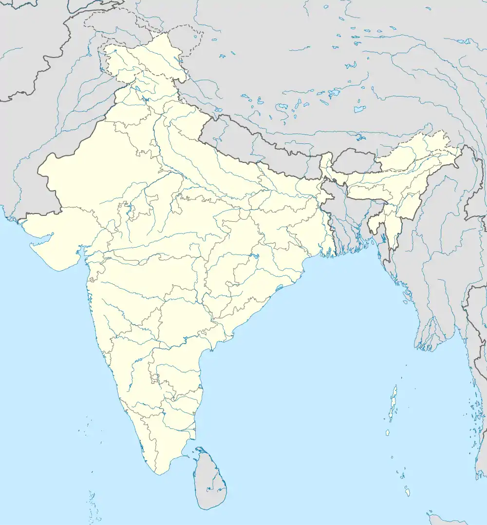 Paharpur Paharpur (India) | |
| Coordinates: 27.04402°N 80.93939°E[1] | |
| Country | |
| State | Uttar Pradesh |
| District | Lucknow |
| Area | |
| • Total | 2.595 km2 (1.002 sq mi) |
| Elevation | 129 m (423 ft) |
| Population (2011)[2] | |
| • Total | 2,545 |
| • Density | 980/km2 (2,500/sq mi) |
| Languages | |
| • Official | Hindi |
| Time zone | UTC+5:30 (IST) |
References
- "Geonames.org. Pahārpur". Retrieved 12 March 2021.
- "Census of India 2011: Uttar Pradesh District Census Handbook - Lucknow, Part A (Village and Town Directory)" (PDF). Census 2011 India. pp. 113–37. Retrieved 12 March 2021.
{{cite web}}: CS1 maint: url-status (link) - "Villages | District Lucknow , Government of Uttar Pradesh | India". lucknow.nic.in.
This article is issued from Wikipedia. The text is licensed under Creative Commons - Attribution - Sharealike. Additional terms may apply for the media files.