Neyron
Neyron (French pronunciation: [neʁɔ̃] (![]() listen)) is a commune in the Ain department in eastern France.
listen)) is a commune in the Ain department in eastern France.
Neyron | |
|---|---|
Commune | |
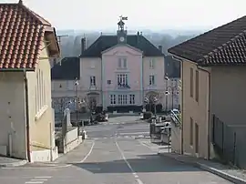 Town hall | |
Location of Neyron 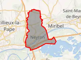 | |
 Neyron 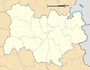 Neyron | |
| Coordinates: 45°48′49″N 4°55′50″E | |
| Country | France |
| Region | Auvergne-Rhône-Alpes |
| Department | Ain |
| Arrondissement | Bourg-en-Bresse |
| Canton | Miribel |
| Intercommunality | CC Miribel et Plateau |
| Government | |
| • Mayor (2021–2026) | Christine Francois[1] |
| Area 1 | 5.4 km2 (2.1 sq mi) |
| Population | 2,569 |
| • Density | 480/km2 (1,200/sq mi) |
| Time zone | UTC+01:00 (CET) |
| • Summer (DST) | UTC+02:00 (CEST) |
| INSEE/Postal code | 01275 /01700 |
| Elevation | 165–312 m (541–1,024 ft) (avg. 190 m or 620 ft) |
| 1 French Land Register data, which excludes lakes, ponds, glaciers > 1 km2 (0.386 sq mi or 247 acres) and river estuaries. | |
Population
|
|
See also
References
- "Répertoire national des élus: les maires". data.gouv.fr, Plateforme ouverte des données publiques françaises (in French). 1 February 2022.
- "Populations légales 2019". The National Institute of Statistics and Economic Studies. 29 December 2021.
| Wikimedia Commons has media related to Neyron. |
This article is issued from Wikipedia. The text is licensed under Creative Commons - Attribution - Sharealike. Additional terms may apply for the media files.