Mrkodol
Mrkodol is a village in the municipality of Tomislavgrad, Bosnia and Herzegovina.[1]
Mrkodol | |
|---|---|
Village | |
 Mrkodol | |
| Coordinates: 43°37′49″N 17°14′29″E | |
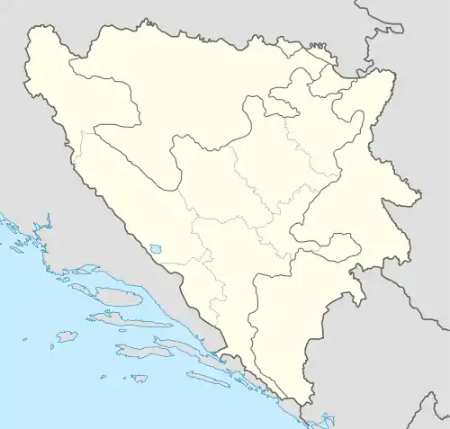
| Country | |
| Entity | Federation of Bosnia and Herzegovina |
| Canton | |
| Municipality | |
| Area | |
| • Total | 5.64 sq mi (14.60 km2) |
| Elevation | 2,946 ft (898 m) |
| Population (2013) | |
| • Total | 999 |
| • Density | 180/sq mi (68/km2) |
| Time zone | UTC+1 (CET) |
| • Summer (DST) | UTC+2 (CEST) |
The village is located on the edge of Duvanjsko polje, near Tomislavgrad. The latitude of the village is 43 degrees and 37 minutes north of the equator, and the longitude is 17 degrees and 15 minutes east of the prime meridian. Its elevation is 898 meters above sea level.[2]
Mrkodol is located along the road leading from Posušje to Tomislavgrad. Its distance from Mostar is 62 km, from Split 77 km, and from Sarajevo 89 km.
Demographics
According to the 2013 census, its population was 999.[3]
| Ethnicity | Number | Percentage |
|---|---|---|
| Croats | 998 | 99.9% |
| other/undeclared | 1 | 0.1% |
| Total | 999 | 100% |
References
- Official results from the book: Ethnic composition of Bosnia-Herzegovina population, by municipalities and settlements, 1991. census, Zavod za statistiku Bosne i Hercegovine - Bilten no.234, Sarajevo 1991.
- "Population by ethnicity / nationality and sex, by populated places". popis.gov.ba.
{{cite web}}: CS1 maint: url-status (link) - "Naseljena Mjesta 1991/2013" (in Bosnian). Statistical Office of Bosnia and Herzegovina. Retrieved September 19, 2021.
This article is issued from Wikipedia. The text is licensed under Creative Commons - Attribution - Sharealike. Additional terms may apply for the media files.