Mount Trumbull, Arizona
Mount Trumbull is a populated place situated in Mohave County, Arizona, United States.[2] It has an estimated elevation of 5,331 feet (1,625 m) above sea level.[1]
Mount Trumbull, Arizona | |
|---|---|
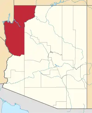
 Mount Trumbull Location within the state of Arizona  Mount Trumbull Mount Trumbull (the United States) | |
| Coordinates: 36°24′43″N 113°19′32″W | |
| Country | United States |
| State | Arizona |
| County | Mohave |
| Elevation | 5,331 ft (1,625 m) |
| Time zone | UTC-7 (Mountain (MST)) |
| • Summer (DST) | UTC-7 (MST) |
| Area code(s) | 928 |
| FIPS code | 04-48100 |
| GNIS feature ID | 12738 |
References
- "Feature Detail Report for: Mount Trumbull". Geographic Names Information System. United States Geological Survey.
- "Mount Trumbull (in Mohave County, AZ) Populated Place Profile". AZ Hometown Locator. Retrieved December 28, 2016.
External links
![]() Media related to Mount Trumbull, Arizona at Wikimedia Commons
Media related to Mount Trumbull, Arizona at Wikimedia Commons
This article is issued from Wikipedia. The text is licensed under Creative Commons - Attribution - Sharealike. Additional terms may apply for the media files.