Mlynčeky
Mlynčeky is a village and municipality in Kežmarok District in the Prešov Region of north Slovakia.
Mlynčeky | |
|---|---|
Municipality | |
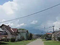 Mlynčeky Village with the Tatras in the background. | |
| Etymology: 'Mlynček' means 'Mill' (as in millstone) in Slovak | |
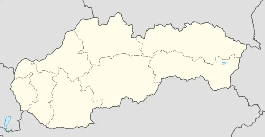 Mlynčeky Location in Slovakia | |
| Coordinates: 49°10′27″N 20°23′40″E | |
| Country | Slovakia |
| Region | Prešov |
| District | Kežmarok |
| Founded | 1890 |
| Government | |
| • Mayor | Milena Svocáková |
| Area | |
| • Total | 7.79[1] km2 (3.01[1] sq mi) |
| Elevation | 687[2] m (2,254[2] ft) |
| Population (2021) | |
| • Total | 703[3] |
| Time zone | UTC+1 (CET) |
| • Summer (DST) | UTC+2 (CEST) |
| Postal code | 059 76[2] |
| Area code(s) | +421 52[2] |
| Website | http://www.mlynceky.sk/ |
Geography
The municipality lies at an altitude of 680 metres and covers an area of 7.679 km² . It has a population of about 620 people.
History
The village itself was established in 1956. At the end of 18th century was just one watermill located at the place of present village. Afterwards a pub had been constructed. Then the Mlynčeky became a settlement and in 1956 it obtained village status.
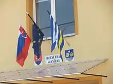
Mlynčeky Municipal Building with Slovak, European Union and local flags in front
Rerefences
- "Hustota obyvateľstva - obce [om7014rr_ukaz: Rozloha (Štvorcový meter)]". www.statistics.sk (in Slovak). Statistical Office of the Slovak Republic. 2022-03-31. Retrieved 2022-03-31.
- "Základná charakteristika". www.statistics.sk (in Slovak). Statistical Office of the Slovak Republic. 2015-04-17. Retrieved 2022-03-31.
- "Počet obyvateľov podľa pohlavia - obce (ročne)". www.statistics.sk (in Slovak). Statistical Office of the Slovak Republic. 2022-03-31. Retrieved 2022-03-31.
External links
This article is issued from Wikipedia. The text is licensed under Creative Commons - Attribution - Sharealike. Additional terms may apply for the media files.