Mashike, Hokkaido
Mashike (増毛町, Mashike-chō) is a town located in Rumoi Subprefecture, Hokkaido, Japan.
Mashike
増毛町 | |
|---|---|
Town | |
 Flag  Emblem | |
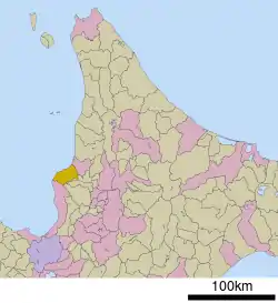 Location of Mashike in Hokkaido (Rumoi Subprefecture) | |
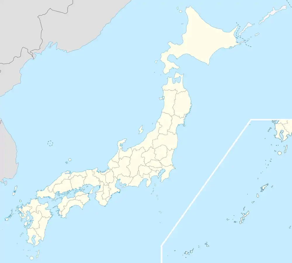 Mashike Location in Japan | |
| Coordinates: 43°51′N 141°32′E | |
| Country | Japan |
| Region | Hokkaido |
| Prefecture | Hokkaido (Rumoi Subprefecture) |
| District | Mashike |
| Area | |
| • Total | 369.64 km2 (142.72 sq mi) |
| Population (September 30, 2016) | |
| • Total | 4,634 |
| • Density | 13/km2 (32/sq mi) |
| Time zone | UTC+09:00 (JST) |
| Climate | Dfb |
| Website | www |
As of September 2016, the town has an estimated population of 4,634 and a density of 13 persons per km². The total area is 369.64 km².
Mashike's main distinction is the sake brewery Kunimare, which is well known throughout Hokkaido. Mashike also has several fruit farms, and it is easy to buy directly from the farmers.
Mashike was the terminus of the JR Hokkaido Rumoi Main Line which ran from Fukagawa, but the section of the line between Rumoi and Mashike was closed on 4 December 2016, owing to declining passenger use.
Mashike has a small ski resort with only two lifts, although it is the biggest one in Rumoi District. Driving further up into the mountains from the ski resort is Shokanbetsu-Teuri-Yagishiri Quasi-National Park and Mt. Shokanbetsu (1491 meters). Camping facilities are available in the park.
Climate
| Climate data for Mashike (1991−2020 normals, extremes 1978−present) | |||||||||||||
|---|---|---|---|---|---|---|---|---|---|---|---|---|---|
| Month | Jan | Feb | Mar | Apr | May | Jun | Jul | Aug | Sep | Oct | Nov | Dec | Year |
| Record high °C (°F) | 10.5 (50.9) |
15.0 (59.0) |
17.5 (63.5) |
27.7 (81.9) |
32.4 (90.3) |
29.8 (85.6) |
33.6 (92.5) |
34.2 (93.6) |
33.5 (92.3) |
24.0 (75.2) |
22.0 (71.6) |
15.9 (60.6) |
34.2 (93.6) |
| Average high °C (°F) | −0.7 (30.7) |
−0.2 (31.6) |
3.5 (38.3) |
9.9 (49.8) |
15.6 (60.1) |
19.0 (66.2) |
23.0 (73.4) |
24.7 (76.5) |
21.6 (70.9) |
15.5 (59.9) |
8.1 (46.6) |
1.7 (35.1) |
11.8 (53.3) |
| Daily mean °C (°F) | −3.3 (26.1) |
−3.0 (26.6) |
0.5 (32.9) |
6.0 (42.8) |
11.4 (52.5) |
15.4 (59.7) |
19.5 (67.1) |
20.9 (69.6) |
17.4 (63.3) |
11.5 (52.7) |
4.9 (40.8) |
−1.0 (30.2) |
8.4 (47.0) |
| Average low °C (°F) | −6.4 (20.5) |
−6.4 (20.5) |
−3.0 (26.6) |
1.9 (35.4) |
7.1 (44.8) |
11.8 (53.2) |
16.3 (61.3) |
17.3 (63.1) |
13.3 (55.9) |
7.5 (45.5) |
1.7 (35.1) |
−3.7 (25.3) |
4.8 (40.6) |
| Record low °C (°F) | −17.4 (0.7) |
−16.3 (2.7) |
−15.1 (4.8) |
−7.1 (19.2) |
−1.7 (28.9) |
2.4 (36.3) |
7.4 (45.3) |
9.5 (49.1) |
4.5 (40.1) |
−1.3 (29.7) |
−7.7 (18.1) |
−16.3 (2.7) |
−17.4 (0.7) |
| Average precipitation mm (inches) | 79.5 (3.13) |
52.2 (2.06) |
48.2 (1.90) |
42.1 (1.66) |
54.6 (2.15) |
54.4 (2.14) |
104.3 (4.11) |
121.6 (4.79) |
143.4 (5.65) |
142.3 (5.60) |
145.6 (5.73) |
98.0 (3.86) |
1,085.9 (42.75) |
| Average rainy days | 17.0 | 12.9 | 11.7 | 9.9 | 9.8 | 8.5 | 9.2 | 10.5 | 13.0 | 14.7 | 18.0 | 18.3 | 153.5 |
| Mean monthly sunshine hours | 38.1 | 62.2 | 127.0 | 179.4 | 206.7 | 176.3 | 172.5 | 176.9 | 168.7 | 121.3 | 52.6 | 28.2 | 1,509.9 |
| Source 1: JMA[1] | |||||||||||||
| Source 2: JMA[2] | |||||||||||||
References
- 観測史上1~10位の値(年間を通じての値). JMA. Retrieved February 21, 2022.
- 気象庁 / 平年値(年・月ごとの値). JMA. Retrieved February 21, 2022.
External links
 Media related to Mashike, Hokkaidō at Wikimedia Commons
- Official Website (in Japanese)
| ||||||||||||
| ||||||||||||
| ||||||||||||
| ||||||||||||
| ||||||||||||
| ||||||||||||
| ||||||||||||
| ||||||||||||
| ||||||||||||
| ||||||||||||
| ||||||||||||
| ||||||||||||
| ||||||||||||
| ||||||||||||