Maquoit Bay
Maquoit Bay is a bay in Cumberland County, Maine, in the northern part of Casco Bay. It is located between South Freeport and Mere Point, Brunswick.
| Maquoit Bay | |
|---|---|
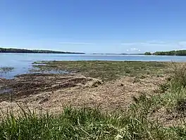 Looking southwest from the head of Maquoit Bay towards the islands off South Freeport | |
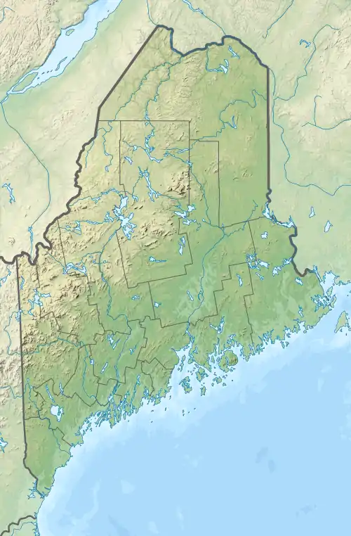 Maquoit Bay Location of Maquoit Bay in Maine | |
| Location | Maine, United States |
| Coordinates | 43.85993°N 69.99981°W |
| Type | Bay |
| Part of | Casco Bay |
| Ocean/sea sources | Atlantic Ocean |
Wharton Point
Wharton Point is a popular location for clam and shellfish harvesting. There is also a boat ramp.[1][2]
The point is named for Thomas Wharton, an early settler in Brunswick, c. 1684. He owned the lot in 1717. It was later sold to William Woodside, for whom the road it stands beside is named.[3] (Woodside Road and Maquoit Road merge at the apex of the tight turn in the road.)
It is the southern terminus of the "12-rod road", and served as an access point for vessels delivering and shipping lumber and farm products. Prior to its settlement, it was used by Native Americans for cartage between the sharp bend of the Androscoggin River in Brunswick and Maquoit Bay. During the Indian Wars of the 18th century, a garrison and company of soldiers were stationed here to keep communication lines open between Fort George and Maquoit Bay.
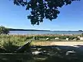 The parking area to the northeast of the boat ramp, looking out into the bay over Gamble Marsh
References
- "Maquoit Landing (Wharton Point Landing)". Brunswick, ME. Retrieved 2022-04-12.
- Olcott, Susan (2017-06-09). "Not just a mud flat at Brunswick's Wharton Point". Press Herald. Retrieved 2022-04-12.
- Wheeler, George Augustus (1878). History of Brunswick, Topsham, and Harpswell, Maine. A. Mudge & Sons. p. 83.