Lumière Peak
Lumière Peak (65°18′S 64°3′W) is a peak, 1,065 metres (3,500 ft) high, standing 3 nautical miles (6 km) southeast of Cape Tuxen on the west coast of Graham Land, Antarctica. It was discovered by the Third French Antarctic Expedition, 1903–05, and named by Jean-Baptiste Charcot for Louis Lumière, a leader in photographic research and development in France at that time.[1]
| Lumière Peak | |
|---|---|
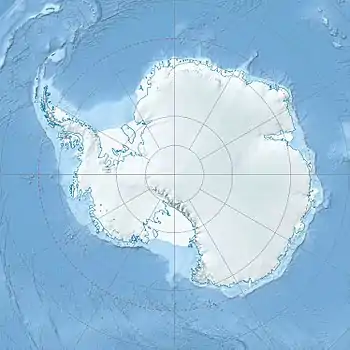 Lumière Peak Graham Land, Antarctica | |
| Highest point | |
| Elevation | 1,065 m (3,494 ft) |
| Coordinates | 65.3°S 64°W |
| Naming | |
| Etymology | Named after Louis Lumière |
| Geography | |
| Location | Graham Land, Antarctica |
References
- "Lumière Peak". Geographic Names Information System. United States Geological Survey. Retrieved 2013-07-08.
![]() This article incorporates public domain material from the United States Geological Survey document: "Lumière Peak". (content from the Geographic Names Information System)
This article incorporates public domain material from the United States Geological Survey document: "Lumière Peak". (content from the Geographic Names Information System)
This article is issued from Wikipedia. The text is licensed under Creative Commons - Attribution - Sharealike. Additional terms may apply for the media files.