La Guérinière
La Guérinière (French pronunciation: [la ɡeʁinjɛʁ]) is a commune in the Vendée department in the Pays de la Loire region in western France. It lies on the island of Noirmoutier. The town is protected from winter winds on the ocean side by a cordon of dunes.
La Guérinière | |
|---|---|
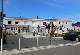 Place de la Mairie at La Guérinière | |
Location of La Guérinière  | |
 La Guérinière 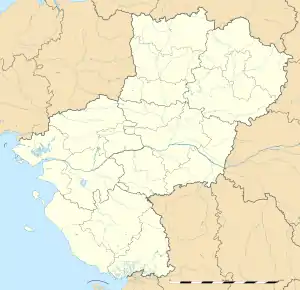 La Guérinière | |
| Coordinates: 46°58′05″N 2°13′49″W | |
| Country | France |
| Region | Pays de la Loire |
| Department | Vendée |
| Arrondissement | Les Sables-d'Olonne |
| Canton | Saint-Jean-de-Monts |
| Intercommunality | L'île de Noirmoutier |
| Government | |
| • Mayor (2020–2026) | Pierrick Adrien[1] |
| Area 1 | 7.82 km2 (3.02 sq mi) |
| Population | 1,320 |
| • Density | 170/km2 (440/sq mi) |
| Time zone | UTC+01:00 (CET) |
| • Summer (DST) | UTC+02:00 (CEST) |
| INSEE/Postal code | 85106 /85680 |
| Elevation | 0–20 m (0–66 ft) |
| 1 French Land Register data, which excludes lakes, ponds, glaciers > 1 km2 (0.386 sq mi or 247 acres) and river estuaries. | |
Geography
The altitude of the city hall of La Guérinière is approximately 5 meters. The La Guérinière surface is 7.82 km ². The latitude and longitude of La Guérinière are 46.967 degrees North and 2.233 degrees [3]
See also
References
- "Répertoire national des élus: les maires". data.gouv.fr, Plateforme ouverte des données publiques françaises (in French). 9 August 2021.
- "Populations légales 2019". The National Institute of Statistics and Economic Studies. 29 December 2021.
- "LA GUERINIERE - Map of La Guérinière 85680 France". www.map-france.com. Retrieved 2022-02-18.
| Wikimedia Commons has media related to La Guérinière. |
This article is issued from Wikipedia. The text is licensed under Creative Commons - Attribution - Sharealike. Additional terms may apply for the media files.