Kurumayama
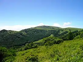
Kurumayama (車山) is mountain in Nagano Prefecture, Japan. A part of the Kirigamine volcano and is the highest point.
| Kurumayama | |
|---|---|
| Mount Kuruma | |
 North side | |
| Highest point | |
| Elevation | 1,925 m (6,316 ft) |
| Coordinates | 36°6′10″N 138°11′47″E[1] |
| Naming | |
| Native name | 車山 (Japanese) |
| English translation | wheel mountain |
| Geography | |
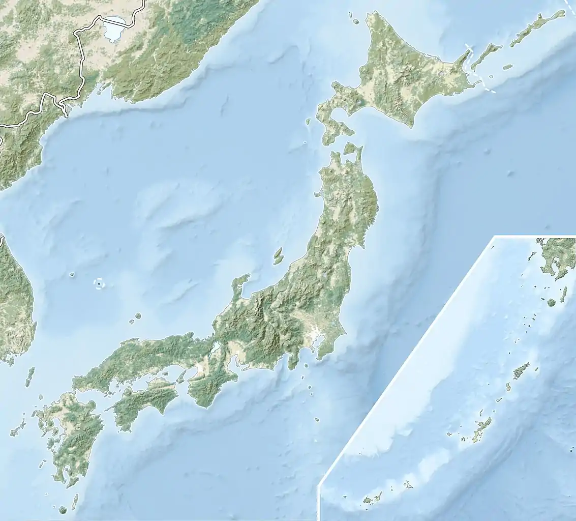 Kurumayama Location of Mount Kuruma in Japan 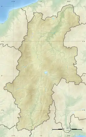 Kurumayama Kurumayama (Nagano Prefecture) | |
| Location | Yatsugatake-Chūshin Kōgen Quasi-National Park |
| Country | Japan |
| Prefectures | Nagano |
| Shikuchōson | Suwa and Chino |
| Parent range | Mount Kirigamine |
| Climbing | |
| Easiest route | Chairlift |
The north-west side is covered with forest. The south-east side of Kurumayama is grassy which allows easy paragliding. The car access to the bottom of Kurumayama does not require the four-wheel drive, but at heavy snow, snow chains may help a lot.
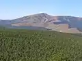 East side of Kurumayama
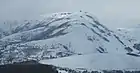 January
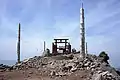 Small Shinto shrine on the summit
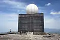 JMA's weather radar on the summit
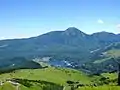 East view from the top of Mount Kuruma. Lake Shirakaba in the center. Mount Tateshina in the background.
References
This article is issued from Wikipedia. The text is licensed under Creative Commons - Attribution - Sharealike. Additional terms may apply for the media files.