Kumarganj, Faizabad
Kumarganj is a university town in the Faizabad district (officially Ayodhya district) in the state of Uttar Pradesh in India.[2] Kumarganj is 37 km south of district headquarters Ayodhya city.
Kumarganj | |
|---|---|
Town | |
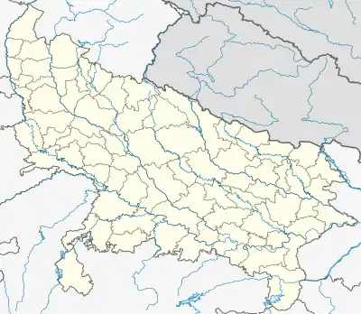 Kumarganj Location in Uttar Pradesh, India 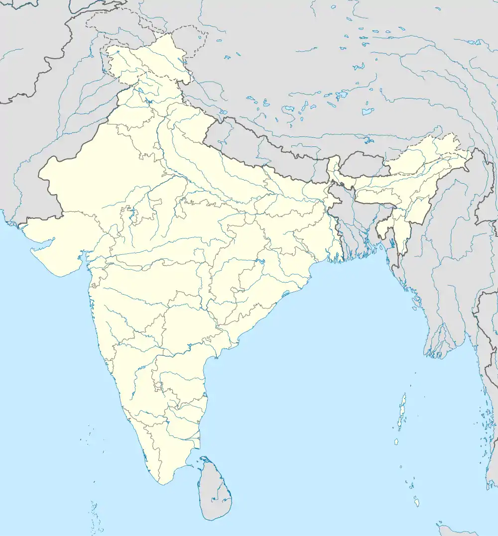 Kumarganj Kumarganj (India) | |
| Coordinates: 26.553010°N 81.842512°E | |
| Country | |
| State | Uttar Pradesh |
| Division | Faizabad division (officially Ayodhya division) |
| District | Faizabad district (officially Ayodhya district) |
| Area | |
| • Total | 3.5 km2 (1.4 sq mi) |
| Elevation | 98 m (322 ft) |
| Language | |
| • Official | Hindi[1] |
| • Additional official | Urdu[1] |
| Time zone | UTC+5:30 (IST) |
| PIN | 224229 |
| Vehicle registration | UP-42 |
| Website | up |
Government and politics
Civic administration
There is a police station in Kumarganj.[3]
Transport
- Road
Kumarganj has good connectivity by road to Raebareli, Faizabad, Ayodhya, Lucknow, Kanpur, Varanasi and Allahabad city.
- Railways
The nearest railway station is Nihalgarh Railway Station (25 km), Faizabad junction (41 km) and Ayodhya junction (47 km).
- Air
The nearest airport is Ayodhya Airport[4] 40 km north, Lucknow Airport 128 km, Varanasi Airport 200 km.
References
- "52nd Report of the Commissioner for Linguistic Minorities in India" (PDF). nclm.nic.in. Ministry of Minority Affairs. Archived from the original (PDF) on 25 May 2017. Retrieved 26 October 2020.
- "Kumarganj Pin Code, Kumarganj , Faizabad Map , Latitude and Longitude , Uttar Pradesh". indiamapia.com. Retrieved 10 September 2019.
- "Police | District Ayodhya - Government of Uttar Pradesh | India". ayodhya.nic.in. Retrieved 22 February 2021.
- Tyagi, Harshita (24 November 2020). "UP Cabinet clears proposal to rename Ayodhya Airport as Maryada Purushottam Sri Ram Airport". Times Now. Retrieved 22 February 2021.
This article is issued from Wikipedia. The text is licensed under Creative Commons - Attribution - Sharealike. Additional terms may apply for the media files.