Kolatak
Kolatak (Armenian: Քոլատակ; Azerbaijani: Kolatağ) is a village de facto in the Martakert Province of the breakaway Republic of Artsakh, de jure in the Kalbajar District of Azerbaijan, in the disputed region of Nagorno-Karabakh. The village has an ethnic Armenian-majority population, and also had an Armenian majority in 1989.[2]
Kolatak
Քոլատակ | |
|---|---|
| Kolatağ | |
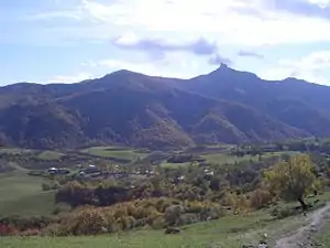 A view of Kolatak | |
 Kolatak 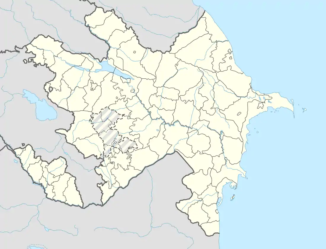 Kolatak | |
| Coordinates: 40°00′11″N 46°36′00″E | |
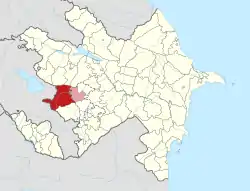
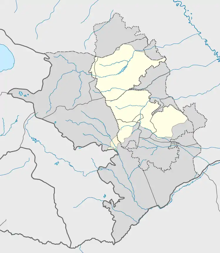
| Country (de facto) | |
| • Province | Martakert |
| Country (de jure) | |
| • District | Kalbajar |
| Population (2015)[1] | |
| • Total | 250 |
| Time zone | UTC+4 (AMT) |
Situated on a mountain above the village is the 13th-century Armenian monastery of Hakobavank, also known as the Metsaranits Monastery.
History
During the Soviet period, the village was a part of the Mardakert District of the Nagorno-Karabakh Autonomous Oblast.
Historical heritage sites
Historical heritage sites in and around the village include the monastery of Hakobavank (also known as the Metsaranits Monastery, from between the 7th and 13th centuries), the fortress of Kachaghakaberd in the mountains to the south - an important fortress in the medieval Armenian Principality of Khachen, the medieval fortress of Berdakar (Armenian: Բերդաքար), khachkars from between the 9th and 13th centuries, the church of Koshik Anapat (Armenian: Կոշիկ անապատ), the fortress of Isarantsots (Armenian: Իսարանցոց) and a cemetery from between the 12th and 13th centuries, a 13th-century church, the village of Alan Veran (Armenian: Ալան Վերան) and a cemetery from between the 16th and 18th centuries, the 17th-century Mandur Church (Armenian: Մանդուռի եկեղեցի, romanized: Manduri Yekeghetsi), the 17th/18th-century village of Hndzan (Armenian: Հնձան), a 19th-century oil mill, and a cave.[1]
Economy and culture
The population is mainly engaged in agriculture and animal husbandry. As of 2015, the village has a municipal building, a secondary school, and a medical centre.[1]
Gallery
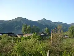 A view of the village
_23.jpg.webp) Hakobavank complex
Hakobavank complex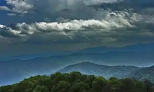 Scenery around Kolatak
_03.jpg.webp) Armenian-language inscription in the monastery of Hakobavank
Armenian-language inscription in the monastery of Hakobavank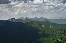 Mountains around Kolatak
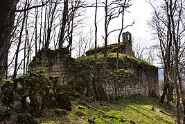 The 12th/13th-century Koshik Anapat Church
References
- Hakob Ghahramanyan. "Directory of socio-economic characteristics of NKR administrative-territorial units (2015)".
- Андрей Зубов. "Андрей Зубов. Карабах: Мир и Война". drugoivzgliad.com.
- "The Results of the 2005 Census of the Nagorno-Karabakh Republic" (PDF). National Statistic Service of the Republic of Artsakh.
External links
| Wikimedia Commons has media related to Kolatağ. |
Capital: Martakert | ||
| Urban communities |  | |
| Rural communities |
| |
| Not under Artsakh control | ||