Khirbet Kuwayzibah
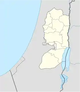
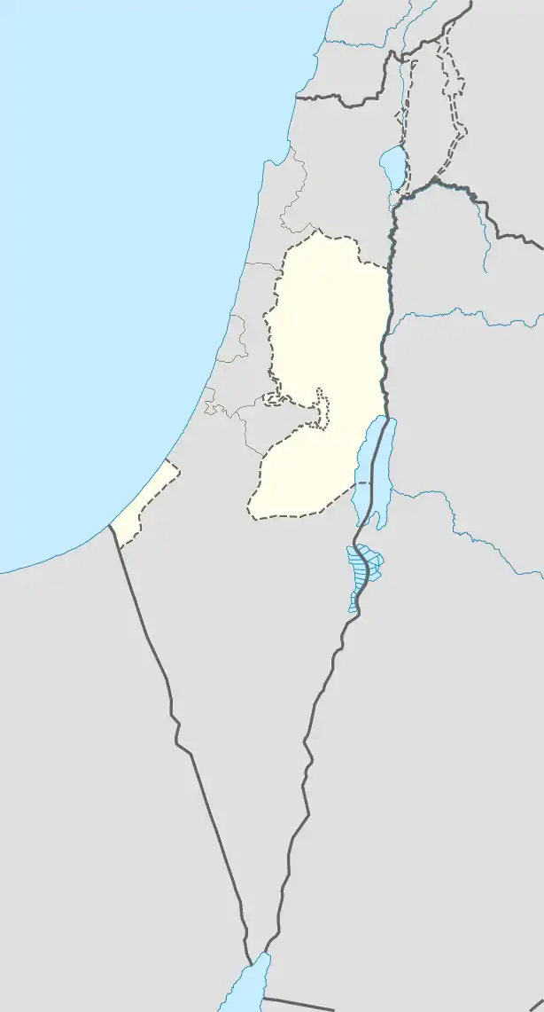
Khirbet Kuwayzibah (Arabic: كوزيبا, Hebrew: ח'רבת כויזבה), also Kuzibah, Kueiziba, is an ancient ruin, partly inhabited, in the Hebron Governorate in the West Bank, presently part of Sa'ir.
Kuzibah | |
|---|---|
| Arabic transcription(s) | |
| • Arabic | كوزيبا |
| Coordinates: 31°36′28″N 35°09′22″E | |
| Palestine grid | 164/112 |
| State | State of Palestine |
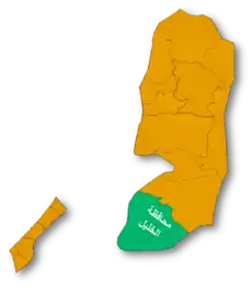
| Governorate | Hebron |
| Government | |
| • Type | Municipality |
| Name meaning | the ruin of Kuzeiba, p.n., possibly from the Heb. Chozeba[1] |
Arabic: كوزيبا | |
| Alternative name | Kūzībah (ar) |
|---|---|
| Height | 872m |
| History | |
| Periods | Second Temple period |
Etymology
Kuwayzibah is believed to be a modern Arabic derivation of the ancient Hebrew placename Chozeba.[2] It is also possible that Kuwayzibah is a derivation of the ancient Aramaic (Hebrew: כוספא דתמרי, romanized: Kuspa Detimri, lit. 'cluster of dates').
History
The site is dated to classic antiquity, and usually identified with Chozeba, also Kuseva (Hebrew: כוסבה) - the place of origin of Simon Bar Kokhba,[3][4] the leader of the Bar Kokhba revolt against the Roman Empire in the 2nd century CE. The site was likely among the 985 villages in Judea destroyed by Hadrian during the Bar Kokhba revolt.
At the foot of the ruin are several springs, known as 'Ain Kueiziba, along which are the remains of ancient pools. These springs are the source of water for the Arrub aqueduct, which together with other aqueduct supplied the water to the Roman aqueduct to Jerusalem.[5] The Arrub aqueduct dates to the beginning of the 1st century CE, in the period of Pontius Pilate, in accordance with the descriptions of Josephus and the archaeological finds.
In 2009, several residents of Kuwayzibah were interviewed for a Channel 1 article about Tzvi Misinai and admitted they are of Jewish descent.[6]
See also
References
- Palmer, 1881, p. 400
- Palmer, 1881, p. 400
- Conder, Claude R. Tent Work in Palestine: A Record of Discovery and Adventure (1887 ed.). p. 143.
- Suxeríuse, Khirbat Kuwayzibah. Aharon Oppenheimer (1997). "Leadership and Messianism in the Time of the Mishnah". In Henning Graf Reventlow (ed.). Eschatology in the Bible and in Jewish and Christian Tradition. A&C Black. p. 162. ISBN 978-1-85075-664-4.
- Masterman, E. W. G. (1902). "The Water Supply of Jerusalem, Ancient and Modern". The Biblical World. 19 (2): 87–112. doi:10.1086/472951. ISSN 0190-3578.
One of these sources takes its rise in a small pool, the Birket Ktfin; the other starts from the 'Ain Kueiziba. The channels from these two sources converge and join their waters in the Birket 'Arrzib; at present this is quite a ruin, but it is evident that originally it was similar to the highest of the three Pools of Solomon. From this Birket the water passed to the long and extremely tortuous aqueduct which runs twenty-eight miles 32 to the Pools. Originally this aqueduct entered the second pool, but now the water descends by a rough, steep channel to the lowest pool
- "The Jewish Origins of Palestinians", Channel 1 (Israel) (News Report), 11:50, 2009, retrieved 2022-02-23
Bibliography
- Conder, C.R.; Kitchener, H.H. (1883). The Survey of Western Palestine: Memoirs of the Topography, Orography, Hydrography, and Archaeology. Vol. 3. London: Committee of the Palestine Exploration Fund. (pp. 312-313, 358)
- Palmer, E.H. (1881). The Survey of Western Palestine: Arabic and English Name Lists Collected During the Survey by Lieutenants Conder and Kitchener, R. E. Transliterated and Explained by E.H. Palmer. Committee of the Palestine Exploration Fund.
External links
- Welcome To Kh. Kuweiziba
- Survey of Western Palestine, Map 21: IAA, Wikimedia commons