Kapitanivka, Kirovohrad Oblast
Kapitanivka (Ukrainian: Капітанівка; Russian: Капитановка) is an urban-type settlement in Novoukrainka Raion of Kirovohrad Oblast in Ukraine. It is located on the banks of the Rozlyvna, a tributary of the Velyka Vys, in the drainage basin of the Southern Bug, at the border with Cherkasy Oblast. Kapitanivka belongs to Novomyrhorod urban hromada, one of the hromadas of Ukraine.[1] Population: 2,459 (2021 est.)[2]
Kapitanivka
Капітанівка | |
|---|---|
Urban-type settlement | |
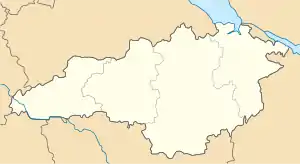 Kapitanivka Location in Kirovohrad Oblast 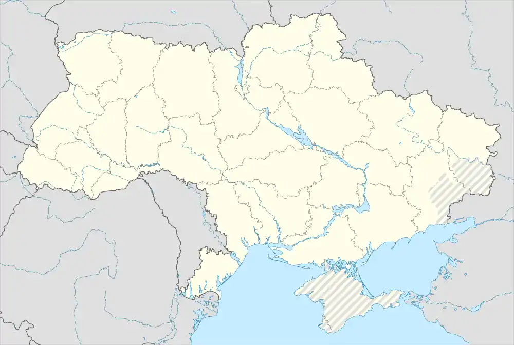 Kapitanivka Location in Ukraine | |
| Coordinates: 48°54′53″N 31°42′33″E | |
| Country | Ukraine |
| Oblast | Kirovohrad Oblast |
| Raion | Novoukrainka Raion |
| Population (2021) | |
| • Total | 2,459 |
| Time zone | UTC+2 (EET) |
| • Summer (DST) | UTC+3 (EEST) |
Until 18 July 2020, Kapitanivka belonged to Novomyrhorod Raion. The raion was abolished in July 2020 as part of the administrative reform of Ukraine, which reduced the number of raions of Kirovohrad Oblast to four. The area of Novomyrhorod Raion was merged into Novoukrainka Raion.[3][4]
Economy
Transportation
Kapitanivka railway station is on the railway connecting Smila and Pomichna. There is infrequent passenger traffic.
The settlement is connected by road with Novomyrhorod and Smila.
References
- "Новомиргородська територіальна громада" (in Ukrainian). decentralization.gov.ua.
- Чисельність наявного населення України на 1 січня 2021 / Number of Present Population of Ukraine, as of January 1, 2021 (PDF) (in Ukrainian and English). Kyiv: State Statistics Service of Ukraine.
- "Про утворення та ліквідацію районів. Постанова Верховної Ради України № 807-ІХ". Голос України (in Ukrainian). 2020-07-18. Retrieved 2020-10-03.
- "Нові райони: карти + склад" (in Ukrainian). Міністерство розвитку громад та територій України.