Kamenice (Prague-East District)
Kamenice is a municipality and village in Prague-East District in the Central Bohemian Region of the Czech Republic. It has about 4,700 inhabitants.
Kamenice | |
|---|---|
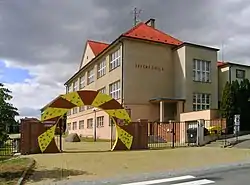 Primary school | |
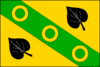 Flag  Coat of arms | |
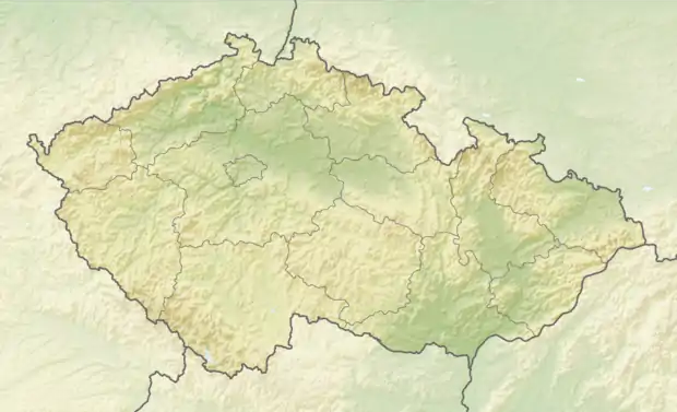 Kamenice Location in the Czech Republic | |
| Coordinates: 49°54′6″N 14°34′57″E | |
| Country | |
| Region | Central Bohemian |
| District | Prague-East |
| First mentioned | 1266 |
| Government | |
| • Mayor | Pavel Čermák |
| Area | |
| • Total | 17.38 km2 (6.71 sq mi) |
| Elevation | 368 m (1,207 ft) |
| Population (2021-01-01)[1] | |
| • Total | 4,707 |
| • Density | 270/km2 (700/sq mi) |
| Time zone | UTC+1 (CET) |
| • Summer (DST) | UTC+2 (CEST) |
| Postal code | 251 68 |
| Website | www |
Administrative parts
Villages of Ládeves, Ládví, Nová Hospoda, Olešovice, Skuheř, Struhařov, Štiřín, Těptín and Všedobrovice are administrative parts of Kamenice.
Demography
As of 2021, it is the 5th most populated municipality without the town status in the country and the most populated outside of the Moravian-Silesian Region. In the 21st century, it belongs among the fastest growing municipalities in the country.
|
| |||||||||||||||||||||||||||||||||||||||||||||||||||
| Source: Historical lexicon of municipalities of the Czech Republic[2] | ||||||||||||||||||||||||||||||||||||||||||||||||||||
References
- "Population of Municipalities – 1 January 2021". Czech Statistical Office. 2021-04-30.
- "Historický lexikon obcí České republiky 1869–2011 – Okres Praha-východ" (in Czech). Czech Statistical Office. 2015-12-21. pp. 3–4.
This article is issued from Wikipedia. The text is licensed under Creative Commons - Attribution - Sharealike. Additional terms may apply for the media files.