Kagongo, Kigoma
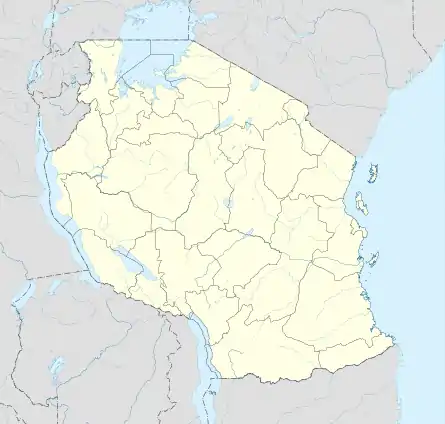
Kagongo is an administrative ward in Kigoma District of Kigoma Region in Tanzania. The ward covers an area of 114.1 km2 (44.1 sq mi),[1] and has an average elevation of 1,034 m (3,392 ft).[2] According to the 2012 census, the ward has a total population of 19,407.[3]
Kagongo
| |
|---|---|
| Kata ya Kagongo, Wilaya ya Kigoma | |
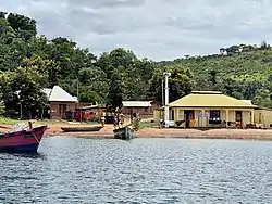 Masjid in Kalalangabo village, Kagongo Ward, Kigoma District | |
 Kagongo | |
| Coordinates: | |
| Country | |
| Region | Kigoma Region |
| District | Kigoma District |
| Area | |
| • Total | 114.1 km2 (44.1 sq mi) |
| Elevation | 1,034 m (3,392 ft) |
| Population (2012) | |
| • Total | 19,407 |
| • Density | 170/km2 (440/sq mi) |
| Tanzanian Postal Code | 47209 |
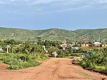
Mtatanga village, Kagongo Ward, Kigoma District
Landscape in Kagongo Ward, Kigoma District

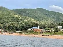
Swamp in Kagongo Ward, Kigoma District
References
- "Tanzania: Lake Zone Tanzania (Districts and Wards) – Population Statistics, Charts and Map".
- "Kagongo Elevation".
- "2012 Population and Housing Census General Report" (PDF). Government of Tanzania. Retrieved 2022-03-12.
This article is issued from Wikipedia. The text is licensed under Creative Commons - Attribution - Sharealike. Additional terms may apply for the media files.