Juan de Bolas Mountain
Juan de Bolas Mountain in Saint Catherine, Jamaica[1] (some sources say Clarendon[3]) is named after Juan de Bolas, A Chief of the a Group of Maroonswho sided with the Spanish during the British Spanish war in Jamaica 1655. He was caught by the British and turned to their side a d was instrumental in defeating the Spanish. He would then betrayed the maroons by revealing their settlement to the British and serving as a Maroon Hunter t[3][2]
| Juan de Bolas Mountain | |
|---|---|
 Juan de Bolas Mountain | |
| Highest point | |
| Elevation | 2,743 ft (836 m)[1] |
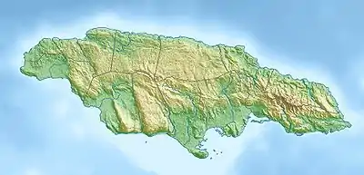
| Coordinates | 18°04′14″N 77°07′36″W[2] |
| Geography | |
| Location | Jamaica |
See also
References
- 1:50,000 map of Jamaica sheet G. UK Directorate of Overseas Surveys. 1973.
- "Juan de Bolas Mountain". Wikimapia. Wikimapia. Retrieved 29 November 2013.
- Sibley, Inez (1978). Dictionary of Place-Names in Jamaica. Kingston, Jamaica: Institute of Jamaica. p. 85.
This article is issued from Wikipedia. The text is licensed under Creative Commons - Attribution - Sharealike. Additional terms may apply for the media files.