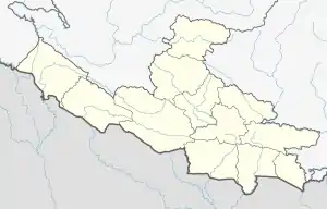
Janaki Rural Municipality
Janaki is a rural municipality in Banke District, Nepal.[1] Janaki lies 89 km east of Dhangadhi and 604 km west of the capital, Kathmandu. It is surrounded by Joshipur Rural Municipality in the west, Bardiya District in the east, Lamki Chuha Municipality in the north and Tikapur in the south.
Janaki Rural Municipality
जानकी गाउँपालिका | |
|---|---|
 Janaki Rural Municipality Location in Nepal  Janaki Rural Municipality Janaki Rural Municipality (Nepal) | |
| Coordinates: 28.58°N 81.08°E | |
| Country | |
| Province | Lumbini Province |
| District | Banke District |
| Government | |
| • Chairman | Bhumisara Dhital |
| Area | |
| • Total | 63.32 km2 (24.45 sq mi) |
| Population (2011) | |
| • Total | 37,839 |
| • Rank | 4th (Nepal) |
| • Density | 600/km2 (1,500/sq mi) |
| Time zone | UTC+5:45 (NST) |
| Post code | 10900 |
| Area code(s) | 091 |
| Website | https://janakimunbanke.gov.np/ |
Transport
Janaki Rural Municipality is connected to the Lamki - Tikapur Road where transport includes auto rickshaws, public minibuses and public city buses.
References
- "Most parties fielding Tharu candidates in Kailali rural municipality". My Republica.com. Archived from the original on 2014-06-18. Retrieved 2014-06-10.
Headquarters: Dhangadhi | ||
| Sub-metropolitan cities | 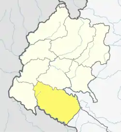 | |
| Municipalities | ||
| Rural municipalities | ||
| Former VDCs | ||
List of municipalities and rural municipalities of Nepal | ||
This article is issued from Wikipedia. The text is licensed under Creative Commons - Attribution - Sharealike. Additional terms may apply for the media files.