Igali, Republic of Dagestan
Igali (Russian: Игали) is a rural locality (a selo) and the administrative center of Igalinsky Selsoviet, Gumbetovsky District, Republic of Dagestan, Russia. The population was 2,559 as of 2010.[2] There are 19 streets.[3]
Igali
Игали | |
|---|---|
Selo | |
 Igali  Igali | |
| Coordinates: 42°42′N 46°35′E[1] | |
| Country | Russia |
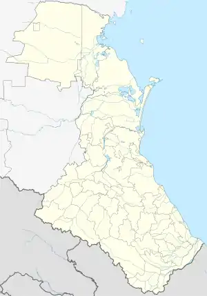
| Region | Republic of Dagestan |
| District | Gumbetovsky District |
| Time zone | UTC+3:00 |
Geography
Igali is located 27 km southeast of Mekhelta (the district's administrative centre) by road, on the right bank of the Andiyskoye Koysu River. Tsanatl and Nizhny Aradirikh are the nearest rural localities.[4]
References
This article is issued from Wikipedia. The text is licensed under Creative Commons - Attribution - Sharealike. Additional terms may apply for the media files.