Horseshoe Island (Antarctica)
Horseshoe Island is an island 12 km (6.5 nmi) long and 6 km (3 nmi) wide occupying most of the entrance to Square Bay, along the west coast of Graham Land, Antarctica. It was discovered and named by the British Graham Land Expedition under John Rymill who mapped the area by land and from the air in 1936–37. Its name is indicative of the crescentic alignment of the 600 to 900 m (2,000 to 3,000 ft) peaks which give a comparable shape to the island.[1]
.jpg.webp) Base Y (Marguerite Bay) on Horseshoe Island with Mount Searle in the background | |
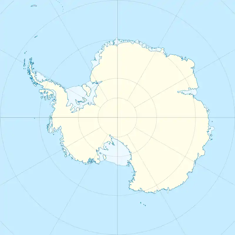 Horseshoe Island Location in Antarctica | |
| Geography | |
|---|---|
| Location | Antarctica |
| Coordinates | 67°51′S 67°12′W |
| Administration | |
| Administered under the Antarctic Treaty System | |
Station Y
Lying at the north-western end of the island is Station Y 67°48′30″S 67°17′39″W, also known as Horseshoe Base, an inactive but relatively unaltered and completely equipped British research station of the late 1950s. It includes ‘Blaiklock’, a nearby refuge hut. The station was occupied from 11 March 1955 to 21 August 1960, when its personnel were transferred to Stonington Island's Station E. In 1969 it was reopened from 7 March to 11 July to complete local survey work.[2] The site has been designated a Historic Site or Monument (HSM 63), following a proposal by the United Kingdom to the Antarctic Treaty Consultative Meeting.[3]
References
- "Horseshoe Island". Geographic Names Information System. United States Geological Survey. Retrieved 27 June 2012.
- "History of Horseshoe Island (Station Y)". Retrieved 20 May 2021.
- "List of Historic Sites and Monuments approved by the ATCM (2012)" (PDF). Antarctic Treaty Secretariat. 2012. Retrieved 4 January 2014.
![]() This article incorporates public domain material from the United States Geological Survey document: "Horseshoe Island". (content from the Geographic Names Information System)
This article incorporates public domain material from the United States Geological Survey document: "Horseshoe Island". (content from the Geographic Names Information System)