Hopkinton (CDP), Rhode Island
Hopkinton is a census-designated place (CDP) in Washington County, Rhode Island, United States, comprising the central village in the town of Hopkinton. It was first listed as a CDP prior to the 2020 census.[2] The village is also known as Hopkinton City, and the center of the village comprises the Hopkinton City Historic District.
Hopkinton, Rhode Island
Hopkinton City | |
|---|---|
 Hopkinton  Hopkinton | |
| Coordinates: 41°27′41″N 71°46′40″W | |
| Country | United States |
| State | Rhode Island |
| County | Washington |
| Town | Hopkinton |
| Area | |
| • Total | 3.31 sq mi (8.57 km2) |
| • Land | 3.30 sq mi (8.55 km2) |
| • Water | 0.004 sq mi (0.01 km2) |
| Elevation | 170 ft (50 m) |
| Time zone | UTC-5 (Eastern (EST)) |
| • Summer (DST) | UTC-4 (EDT) |
| ZIP Codes | |
| Area code(s) | 401 |
| FIPS code | 44-35200 |
| GNIS feature ID | 2631335[2] |
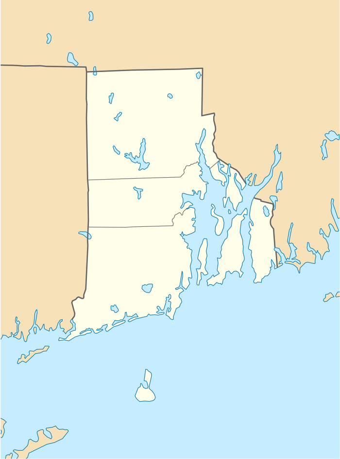
Hopkinton village is on the western edge of Washington County, in the west-central part of the town of Hopkinton. Its western border is the Connecticut state line. Rhode Island Route 3 passes through the center of the village, leading northeast 4 miles (6 km) to Hope Valley, the largest village in the town of Hopkinton, and south 3 miles (5 km) to Ashaway, the second-largest village. Interstate 95 runs through the southeast part of the Hopkinton CDP, with access from Exit 1 with Route 3 between Hopkinton village and Ashaway. I-95 leads northeast 36 miles (58 km) to Providence, the state capital, and southwest 19 miles (31 km) to New London, Connecticut.
References
- "2020 U.S. Gazetteer Files – Rhode Island". United States Census Bureau. Retrieved September 3, 2021.
- "Hopkinton Census Designated Place". Geographic Names Information System. United States Geological Survey.
Municipalities and communities of Washington County, Rhode Island, United States | ||
|---|---|---|
| Towns |  Map of Rhode Island highlighting Washington County | |
| CDPs | ||
| Other villages | ||
| Indian reservation | ||
| ||