Hidden Bay
Hidden Bay (65°2′S 63°46′W) is a bay 3 nautical miles (6 km) long, lying between Cape Renard and Aguda Point on the northeast coast of Kyiv Peninsula, on the west coast of Graham Land. It was first charted by the Belgian Antarctic Expedition under Gerlache 1897–99, and was so named by the UK Antarctic Place-Names Committee in 1958 because from the north the bay is hidden by the Screen Islands.[1]
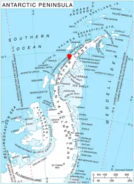
Location of Kyiv Peninsula in Graham Land, Antarctic Peninsula.
References
- "Hidden Bay". Geographic Names Information System. United States Geological Survey. Retrieved 2012-06-16.
![]() This article incorporates public domain material from the United States Geological Survey document: "Hidden Bay". (content from the Geographic Names Information System)
This article incorporates public domain material from the United States Geological Survey document: "Hidden Bay". (content from the Geographic Names Information System)
This article is issued from Wikipedia. The text is licensed under Creative Commons - Attribution - Sharealike. Additional terms may apply for the media files.