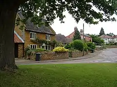
Harpole
Harpole is a village 4 miles (6.4 km) west of Northampton, England, along the A4500 road (formerly the A45) about 1 mile (1.6 km) east of the M1 Motorway junction 16.
| Harpole | |
|---|---|
 | |
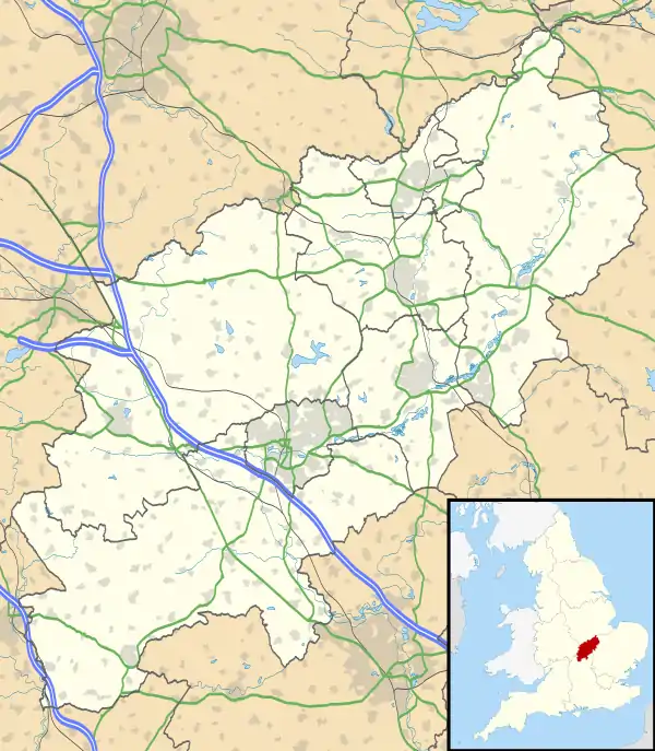 Harpole Location within Northamptonshire | |
| Population | 1,545 (2001 census) 1,546 (2011 census) |
| OS grid reference | SP691608 |
| • London | 69 mi (111 km) |
| Civil parish |
|
| Unitary authority | |
| Ceremonial county | |
| Region | |
| Country | England |
| Sovereign state | United Kingdom |
| Post town | NORTHAMPTON |
| Postcode district | NN7 |
| Dialling code | 01604 |
| Police | Northamptonshire |
| Fire | Northamptonshire |
| Ambulance | East Midlands |
| UK Parliament | |
The villages name means 'Filthy pool'.[1]
Governance
Harpole is in the unitary authority area of West Northamptonshire. Prior to local government reform in 2021 it was in the district council area of South Northamptonshire where it was part of Harpole and Grange ward, together with the parishes of Milton Malsor, Kislingbury, Rothersthorpe and Gayton. It was also in the area of Northamptonshire County Council and is in the Parliamentary Constituency of Daventry. The MP is currently Chris Heaton-Harris (Conservative).
Geography
The M1 London to Yorkshire motorway junctions 16 and 15a are 2 miles (3.2 km) west and 3 miles (4.8 km) south respectively. It is 69 miles (111 km) north of London and 42 miles (68 km) southeast of Birmingham.
Demographics
2001 census data[2] shows 1,547 people resident in the Parish Council area consisting of 755 males and 792 females (the 2009 estimated population is 1,557[3]), in 636 households, of which 82.6% were owner occupied or being purchased with a mortgage.
Facilities
It hosts three public houses: The Bull, located on the High Street; The Live and Let Live, located on Larkhall Lane; and the Turnpike or Beefeater, located at the Harpole Turn from the A4500 road (former A45 road).
Village events
Harpole hosts a scarecrow weekend in September, during which thousands of visitors enjoy the views of the historic village.[4] There is also an event in December where Santa drives around the village, as in, following him.
References
- "Key to English Place-names".
- "UK census 2001 - data". Retrieved 31 October 2008.
- SNC (2010). South Northamptonshire Council Year Book 2010-2011. Towcester. p. 39.
- Harpole Scarecrows