Háj, Turčianske Teplice District
Háj is a village and municipality in Turčianske Teplice District in the Žilina Region of northern central Slovakia.
Háj | |
|---|---|
Village | |
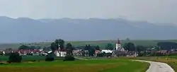 Háj general view | |
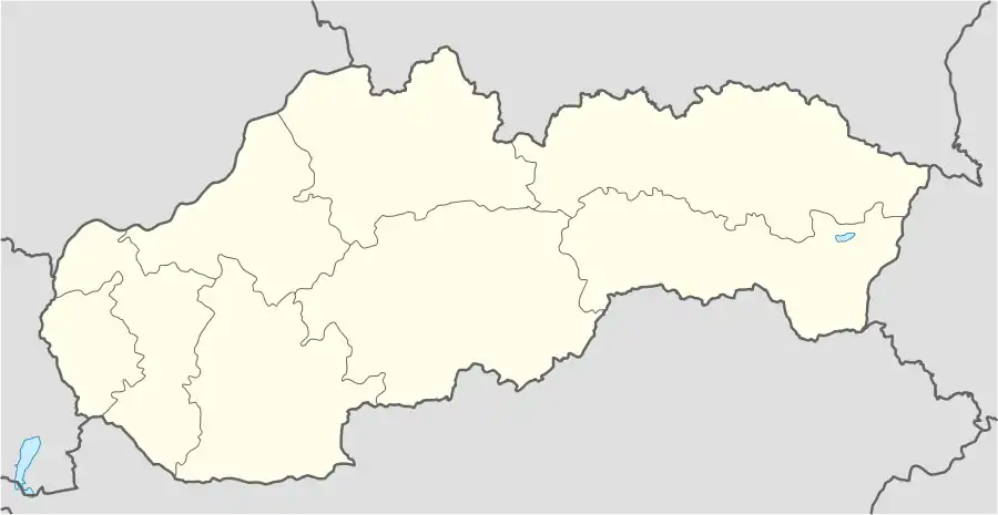 Háj Location of Háj in Slovakia | |
| Coordinates: 48°52′N 18°53′E | |
| Country | Slovakia |
| Region | Žilina |
| District | Turčianske Teplice |
| Founded | 1264 |
| Government | |
| • Mayor | Jarmila Ižipová |
| Area | |
| • Total | 9.33[1] km2 (3.60[1] sq mi) |
| Elevation | 509[2] m (1,670[2] ft) |
| Population (2021) | |
| • Total | 464[3] |
| Postal code | 039 01[2] |
| Area code(s) | +421 43[2] |
| Car plate | TR |
| Website | www.obechaj.sk |
History
In historical records, the village was first mentioned in 1264.{{cn
Geography
The municipality is at an altitude of 508 metres (1,667 ft) and covers an area of 9.332 square kilometres (3.603 sq mi). It has a population of about 478.
Genealogical resources
The records for genealogical research are available at the state archive "Statny Archiv in Bytca, Slovakia"
- Roman Catholic church records (births/marriages/deaths): 1674-1896 (parish A)
- Lutheran church records (births/marriages/deaths): 1820-1923 (parish A)
Rerefences
- "Hustota obyvateľstva - obce [om7014rr_ukaz: Rozloha (Štvorcový meter)]". www.statistics.sk (in Slovak). Statistical Office of the Slovak Republic. 2022-03-31. Retrieved 2022-03-31.
- "Základná charakteristika". www.statistics.sk (in Slovak). Statistical Office of the Slovak Republic. 2015-04-17. Retrieved 2022-03-31.
- "Počet obyvateľov podľa pohlavia - obce (ročne)". www.statistics.sk (in Slovak). Statistical Office of the Slovak Republic. 2022-03-31. Retrieved 2022-03-31.
This article is issued from Wikipedia. The text is licensed under Creative Commons - Attribution - Sharealike. Additional terms may apply for the media files.