Gümüşçay
Gümüşçay (former Güvercinli) is a belde (town) in Biga district of Çanakkale Province, Turkey. At 40°17′N 27°17′E it is situated in the Anatolian portion of the province 10 kilometres (6.2 mi) south of Marmara Sea coast. The distance to Biga is 6 kilometres (3.7 mi). The population of Gümüşçay was 2118 [1] as of 2013. The settlement was an Ottoman district center named Güvercinli. The mosque of Gümüşçay, the Nasuh Çelebi mosque was built during the reign of Mahmut I (1730-1754). The settlement was declared a seat of township in 1949. The main economic sector of the town is agriculture.[2]
Gümüşçay | |
|---|---|
Town | |
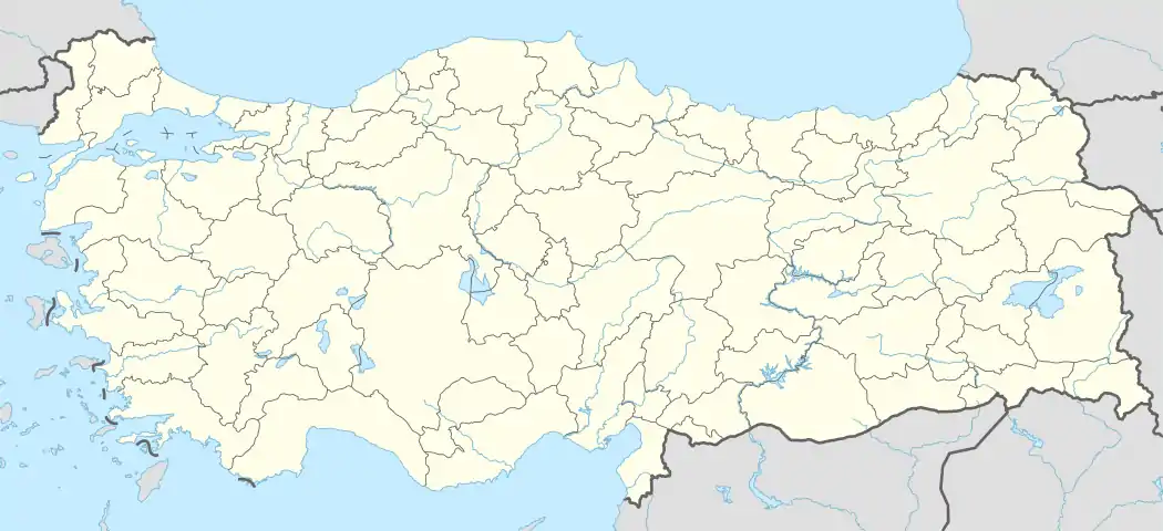 Gümüşçay Location in Turkey | |
| Coordinates: 40°17′N 27°17′E | |
| Country | |
| Province | Çanakkale Province |
| District | Biga |
| Elevation | 8 m (27 ft) |
| Population (2013) | |
| • Total | 2,118 |
| Time zone | UTC+2 (EET) |
| • Summer (DST) | UTC+3 (EEST) |
| Postal code | 17200 |
| Area code(s) | 0286 |
| Licence plate | 17 |
References
- "Statistical Institute". Archived from the original on 2015-01-28. Retrieved 2015-01-24.
- "Mayor's page {{in lang|tr}}". Archived from the original on 2012-05-09. Retrieved 2012-01-21.
This article is issued from Wikipedia. The text is licensed under Creative Commons - Attribution - Sharealike. Additional terms may apply for the media files.