Fredonyer Peak
Fredonyer Peak is a mountain located in the Modoc-Lassen Plateau of central Lassen County, California. It is around 16.2 km (10.1 mi) east by north of Spaulding, California.
| Fredonyer Peak | |
|---|---|
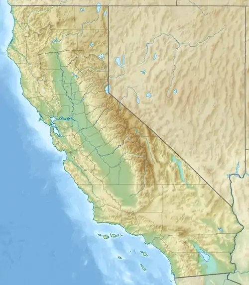 Fredonyer Peak Location of Fredonyer Peak in California | |
| Highest point | |
| Elevation | 2,452 m (8,045 ft)[1] |
| Prominence | 739 m (2,425 ft)[2] |
| Coordinates | 40°41′16″N 120°35′55″W |
| Geography | |
| Location | Lassen County, California, U.S. |
| Parent range | Modoc-Lassen Plateau |
| Topo map | USGS Fredonyer Peak |
Standing at 2,452 m (8,045 ft), it is the highest point in the Modoc-Lassen Plateau.
Atop the mountain, there is an old fire lookout tower[3] and a radio mast, accessible via dirt road.
References
- "Fredonyer Peak". Geographic Names Information System. United States Geological Survey. Retrieved 2022-01-21.
- "Fredonyer Peak, California". Peakbagger.com. Retrieved 2022-01-21.
- "Fredonyer Lookout". 2020-08-23. Retrieved 2022-01-21.
This article is issued from Wikipedia. The text is licensed under Creative Commons - Attribution - Sharealike. Additional terms may apply for the media files.