Cottonwood, Apache County, Arizona
Cottonwood is a census-designated place (CDP) in Apache County, Arizona, United States. The population was 226 at the 2010 census.[2]
Cottonwood, Arizona | |
|---|---|
 Cottonwood | |
| Coordinates: 36°04′23″N 109°53′32″W | |
| Country | United States |
| State | Arizona |
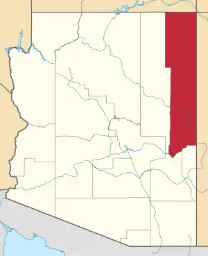
| County | Apache |
| Area | |
| • Total | 0.16 sq mi (0.41 km2) |
| • Land | 0.16 sq mi (0.41 km2) |
| • Water | 0.00 sq mi (0.00 km2) |
| Elevation | 6,069 ft (1,850 m) |
| Population (2020) | |
| • Total | 167 |
| • Density | 1,063.69/sq mi (411.34/km2) |
| Time zone | UTC-7 (MST) |
| • Summer (DST) | UTC-6 (MDT) |
| FIPS code | 04-16360 |
| GNIS feature ID | 3304 |
Geography
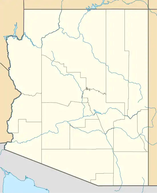
Cottonwood is located at 36°04′23″N 109°53′32″W,[3] about 21 miles (34 km) west of Chinle and 22 miles (35 km) east of Pinon.
According to the United States Census Bureau, the CDP has a total area of 0.14 square miles (0.37 km2), all land.[2]
References
- "2020 U.S. Gazetteer Files". United States Census Bureau. Retrieved October 29, 2021.
- "Geographic Identifiers: 2010 Demographic Profile Data (G001): Cottonwood CDP, Arizona". U.S. Census Bureau, American Factfinder. Archived from the original on February 12, 2020. Retrieved April 18, 2013.
- "US Gazetteer files: 2010, 2000, and 1990". United States Census Bureau. 2011-02-12. Retrieved 2011-04-23.
- "Census of Population and Housing". Census.gov. Retrieved June 4, 2016.
This article is issued from Wikipedia. The text is licensed under Creative Commons - Attribution - Sharealike. Additional terms may apply for the media files.