Corsiglièse
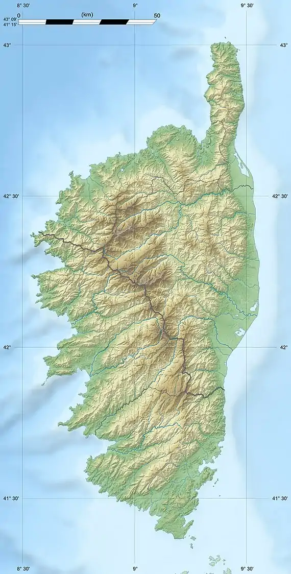
The Corsiglièse is a stream in the department of Haute-Corse, Corsica, France. It is a tributary of the river Tavignano.
| Corsiglièse | |
|---|---|
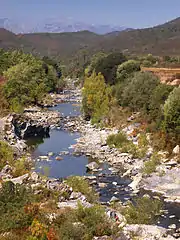
 The Corsiglièse below the village of Pietraserena by the path in front of the church | |
  | |
| Location | |
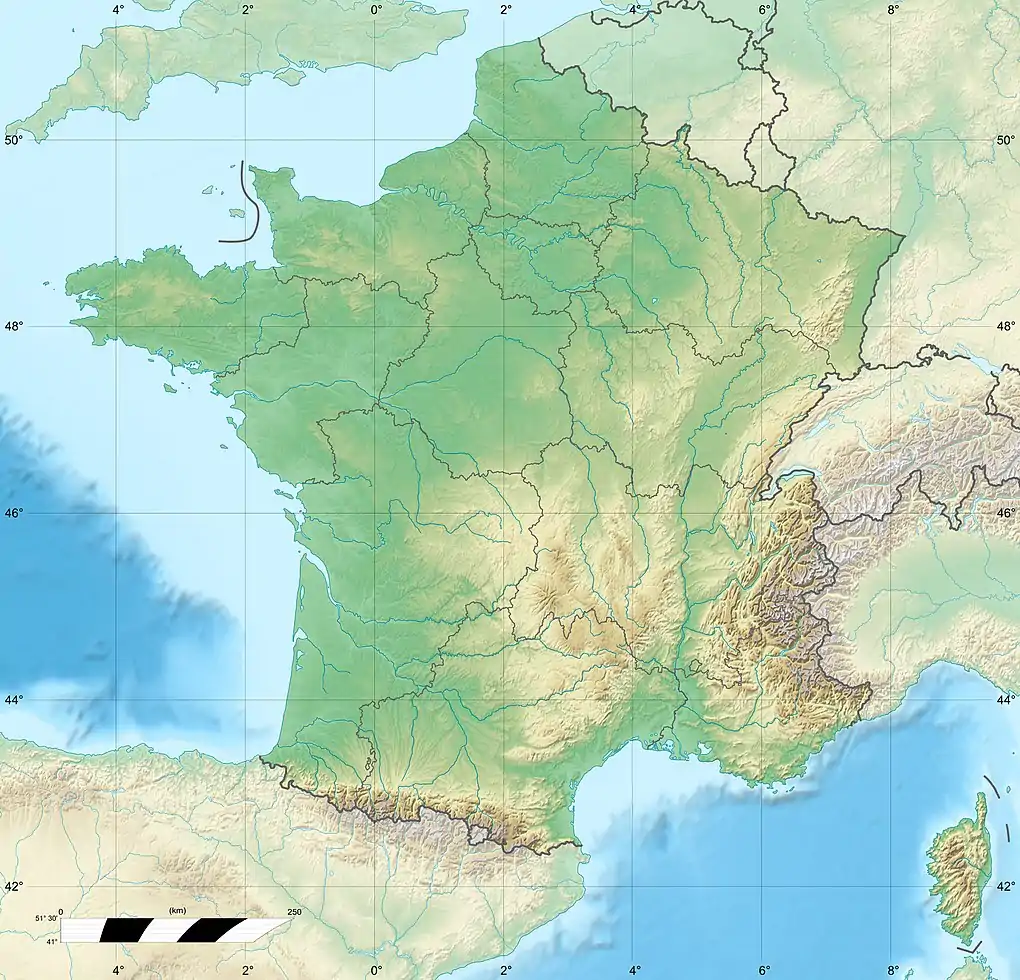
| Country | France |
| Region | Corsica |
| Department | Haute-Corse |
| Physical characteristics | |
| Mouth | Tavignano |
• coordinates | 42°10′28″N 9°24′54″E |
| Basin features | |
| Progression | Tavignano→ Tyrrhenian Sea |
Course
The Corsiglièse is 24.31 kilometres (15.11 mi) long.[1] The stream rises to the south of the village of Sant'Andréa-di-Bozio and flows in a generally south-southeast direction to its junction with the Tavignano. It runs between the D16 or D116 to the east and the D14 to the west.[2] The course of the Corsiglièse follows a fault between the schist mountains and the eastern plain, an unstable area where landslides are possible.[3]
The castrum of Petralerata (Pietr'Ellerat) was in the heart of the Corsiglièse valley, on a peak, and had a defensive character unmatched on the island. It was first mentioned in 1149.[4]
Tributaries
The following streams (ruisseaux) are tributaries of the Corsiglièse:
- Brancuccia
- Ciotte
- Vaccili
- Osse
- Moulins
- Suera
- Tempiu
- Cognolare
- Rejone
- Casamora
- Noce Fiuminale
- Mandriale .
- Fontanello
- Barbuzani
- Chierchiaje
- Molinello
- Campu a l'Olivu
- Ciocciu
- Cardiccia
Notes
Sources
- "Cortinco", armorial.org (in French), retrieved 2021-12-20
- Non au projet de centre d’enfouissement de Ghjuncaghju/Giuncaggio (in French), U Levante, 25 March 2016, retrieved 2021-12-20
- "Relation: Ruisseau de Corsiglièse (8474738)", OpenStreetMap, retrieved 2021-12-20
- "ruisseau de corsigliese", Sandre (in French), retrieved 2021-12-20
| Waterbodies |
| ||||||||||||||||||||
|---|---|---|---|---|---|---|---|---|---|---|---|---|---|---|---|---|---|---|---|---|---|
| Rivers and streams |
| ||||||||||||||||||||
| |||||||||||||||||||||