Cerro Colorados
Cerro Colorados is a mountain in the Andes, at the border of Argentina and Chile.[4] It has a height of 6,080 metres (19,950 ft). It and the neighbouring peak of Vallecitos lie in a very remote area west of the Salar de Antofalla and were not climbed until 1999.[5] Its slopes are shared between the territory of the Argentinean province of Catamarca (commune of Antofagasta de la Sierra) and the Chilean province of Chañaral (commune of Diego de Almagro).[6][7]
| Colorados | |
|---|---|
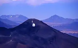 Colorados is the long chain mountain on the left in the distance. Seen from near Ojos del Salado | |
| Highest point | |
| Elevation | 6,080 m (19,950 ft) |
| Prominence | 1,295[1] m (4,249 ft) |
| Parent peak | Vallecitos |
| Coordinates | 26°10′43″S 68°22′51″W |
| Geography | |
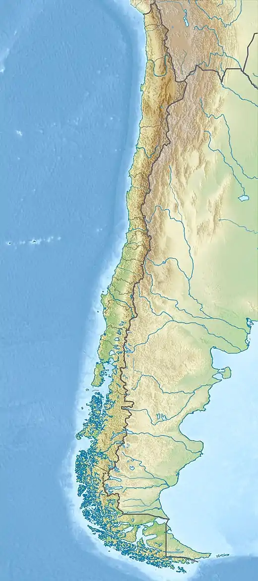 Colorados Argentina / Chile | |
| Parent range | Puna de Atacama, Andes |
| Climbing | |
| First ascent | 10/19/1999 - Henri Barret (France), Walter Sinay, Catalino Soriano (Argentina)[2][3] |
First Ascent
Colorados was first climbed by Henri Barret (France), Walter Sinay and Catalino Soriano (Argentina) October 19, 1999.[2][3]
Elevation
Other data from available digital elevation models: SRTM yields 6054 metres,[8] ASTER 6035 metres[9] and TanDEM-X 6094 metres.[10] The height of the nearest key col is 4785 meters, leading to a topographic prominence of 1295 meters.[11] Colorados is considered a Mountain Subrange according to the Dominance System [12] and its dominance is 21.3%. Its parent peak is Vallecitos and the Topographic isolation is 7.3 kilometers.[11]
See also
References
- "Colorados". Andes Specialists. Retrieved 2020-04-12.
- "AAJ (American Alpine Journal)". AAJ (American Alpine Journal): 277. 2005.
- Guillermo Almaraz. "Personal Interview". Personal Interview: estilo andino.
- Biggar, John (2020). The Andes a guide for climbers (5th ed.). Castle Douglas, Scotland. ISBN 978-0-9536087-7-5. OCLC 1260820889.
- Biggar, John (2020). The Andes - A Guide for Climbers and Skiers (5th ed.). p. 330. ISBN 978-0-9536087-6-8.
- "Capas SIG | Instituto Geográfico Nacional". www.ign.gob.ar. Retrieved 2020-04-30.
- rbenavente. "Biblioteca del Congreso Nacional | SIIT | Mapas vectoriales". bcn.cl. Retrieved 2020-04-30.
- USGS, EROS Archive. "USGS EROS Archive - Digital Elevation - SRTM Coverage Maps". Retrieved 12 April 2020.
- "ASTER GDEM Project". ssl.jspacesystems.or.jp. Retrieved 2020-04-14.
- TanDEM-X, TerraSAR-X. "Copernicus Space Component Data Access". Retrieved 12 April 2020.
- "Colorados". Andes Specialists. Retrieved 2020-04-12.
- "Dominance - Page 2". www.8000ers.com. Retrieved 2020-04-12.