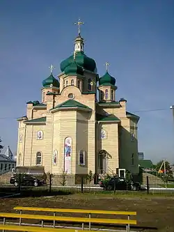
Bilohorodka
Bilohorodka (Ukrainian: Білогородка) is a village in Kyiv-Sviatoshyn District in the Kyiv Region of north Ukraine. Bilohorodka is the center of Bilohorodka hromada formed on June 12, 2020 consisting of nine neighbouring villages: Bobrytsia, Horenytsia, Myzychi, Sviatopetrivske, Hnativkar, Stoianka, Shevchenko, Nehrashi, and Luka.[1]
Bilohorodka
Білогородка | |
|---|---|
 | |
 Flag  Coat of arms | |
 Bilohorodka | |
| Coordinates: 50°23′39″N 30°13′53″E | |
| Country | |
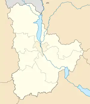
| Region | Kyiv Region |
| District | Kyiv-Sviatoshyn District |
| Founded | 980 A.D. |
| Rural Council | Bilohorodka Rural Council |
| Area | 550 km2 (210 sq mi) |
| Elevation | 152 m (499 ft) |
| Population (2004) | 5.868 |
| • Density | 1.067/km2 (2.76/sq mi) |
| Time zone | UTC+2 (EET) |
| • Summer (DST) | UTC+3 (EEST) |
| Postal code | 08140 |
| Area code(s) | +380 4598 |
History

Remains of Bilgorod Castle in the modern village of Bilohorodka

Volodymyr the Great Monument of Bilohorodka
The village was established in 980 and was a legendary city-castle located in Kievan Rus' called Bilhorod Kyivskyi. It was located on the right bank of Irpin River and was mentioned in chronicles.[2][3][4]
Geography
The village lies at an altitude of 152 metres and covers an area of 5,50 km². It has a population of about 5.868 people (2004).
References
- Kitsoft. "Кабінет Міністрів України - Про визначення адміністративних центрів та затвердження територій територіальних громад Київської області". www.kmu.gov.ua (in Ukrainian). Retrieved 2022-03-13.
- Віталій Непомящих. Вивчення історії дослідження Білгорода Київського Інститут археології НАН України. – Київ, 2017.(in Ukrainian)
- Мезенцева Г.Г. Про топографію стародавнього Білгорода. – Український історичний журнал, 1968 р., № 8, с. 114 – 117.
- "➤ Білогородка Цікаві місця • Пам'ятки • Що подивитись у Білогородка?". Україна Інкогніта (in Ukrainian). Retrieved 2022-03-13.
This article is issued from Wikipedia. The text is licensed under Creative Commons - Attribution - Sharealike. Additional terms may apply for the media files.