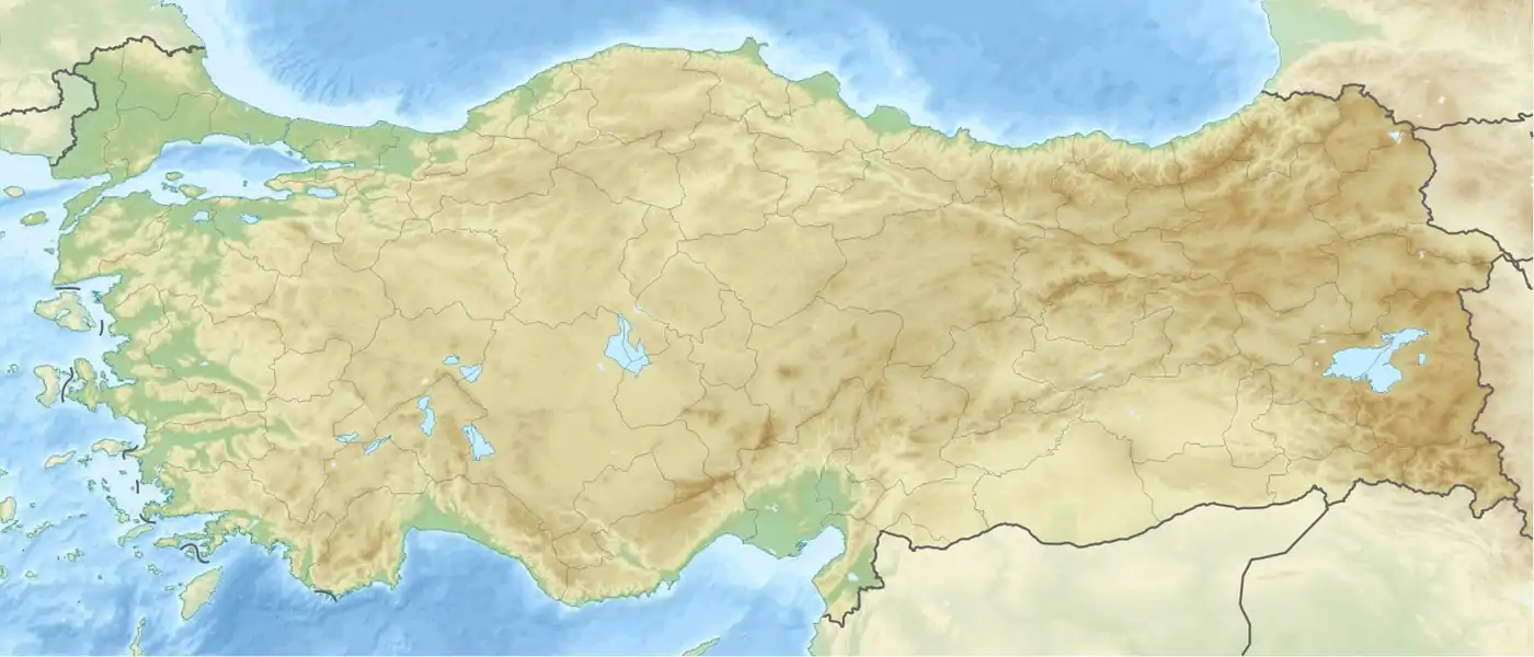
Bilecik
Bilecik is the provincial capital of Turkey's Bilecik Province which is located in northwestern Anatolia. As of 2015 urban population of the city is 64,531.[3] The mayor is Semih Şahin (CHP).
Bilecik | |
|---|---|
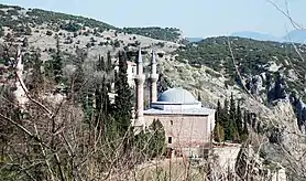
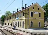
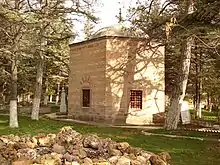
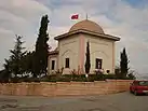
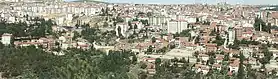
Clockwise from top:Tomb of Sheikh Edebali, Küçükelmalı Natural Park, Bilecik railway station,
Tomb of Ertuğrul, Tomb of Dursun Fakıh, Panaroma of Bilecik | |
 Bilecik 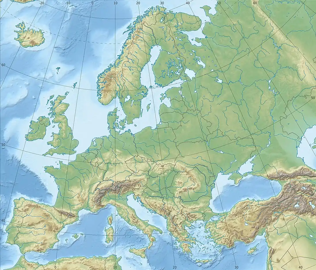 Bilecik 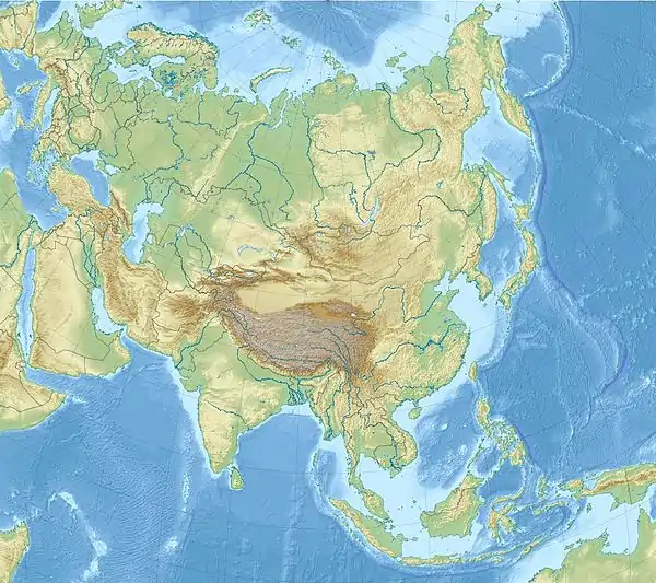 Bilecik .svg.png.webp) Bilecik | |
| Coordinates: 40°08′35″N 29°58′45″E | |
| Country | Turkey |
| Province | Bilecik |
| Government | |
| • Mayor | Semih Şahin (CHP) |
| Area | |
| • District | 840.47 km2 (324.51 sq mi) |
| Population (2012)[2] | |
| • Urban | 51,260 |
| • District | 66,887 |
| • District density | 80/km2 (210/sq mi) |
| Website | www.bilecik.bel.tr |

The town is famous for its numerous restored Turkish houses. It is increasingly becoming more attractive to tourists. With its rich architectural heritage, Bilecik is a member of the European Association of Historic Towns and Regions.[4] 30 kilometres (19 miles) southeast from Bilecik is Söğüt, a small town, where the Ottoman Empire was founded in 1299.
Geography
Bilecik is located in the Southern Marmara section of the Marmara Region. The area of the central district is 844 km². It is one of the least populated provincial capitals in Turkey.
Climate
Bilecik has a hot summer Mediterranean climate (Köppen climate classification: Csa), or a temperate oceanic climate (Trewartha climate classification: Do), with cool, wet and often snowy winters, and hot and dry summers. Summers are hot and dry with temperatures exceeding 28 °C (82 °F) during the peak of summer which are the driest months. Winters are cold and it frequently snows between the months of December and March.
| Climate data for Bilecik (1991–2020, extremes 1939–2020) | |||||||||||||
|---|---|---|---|---|---|---|---|---|---|---|---|---|---|
| Month | Jan | Feb | Mar | Apr | May | Jun | Jul | Aug | Sep | Oct | Nov | Dec | Year |
| Record high °C (°F) | 22.0 (71.6) |
24.6 (76.3) |
30.2 (86.4) |
33.3 (91.9) |
36.6 (97.9) |
38.2 (100.8) |
41.0 (105.8) |
40.6 (105.1) |
38.4 (101.1) |
34.3 (93.7) |
27.4 (81.3) |
25.0 (77.0) |
41.0 (105.8) |
| Average high °C (°F) | 6.3 (43.3) |
8.5 (47.3) |
12.4 (54.3) |
17.5 (63.5) |
22.7 (72.9) |
26.8 (80.2) |
29.6 (85.3) |
30.0 (86.0) |
25.9 (78.6) |
20.2 (68.4) |
13.7 (56.7) |
7.9 (46.2) |
18.5 (65.3) |
| Daily mean °C (°F) | 2.7 (36.9) |
4.1 (39.4) |
7.2 (45.0) |
11.6 (52.9) |
16.5 (61.7) |
20.4 (68.7) |
22.9 (73.2) |
23.0 (73.4) |
19.1 (66.4) |
14.4 (57.9) |
8.9 (48.0) |
4.5 (40.1) |
12.9 (55.2) |
| Average low °C (°F) | 0.0 (32.0) |
0.8 (33.4) |
3.2 (37.8) |
6.9 (44.4) |
11.3 (52.3) |
14.8 (58.6) |
17.0 (62.6) |
17.4 (63.3) |
13.9 (57.0) |
10.2 (50.4) |
5.5 (41.9) |
1.9 (35.4) |
8.6 (47.5) |
| Record low °C (°F) | −16.0 (3.2) |
−14.3 (6.3) |
−11.6 (11.1) |
−6.0 (21.2) |
1.0 (33.8) |
6.0 (42.8) |
7.7 (45.9) |
8.2 (46.8) |
3.2 (37.8) |
−0.8 (30.6) |
−9.2 (15.4) |
−14.5 (5.9) |
−16.0 (3.2) |
| Average precipitation mm (inches) | 48.0 (1.89) |
44.4 (1.75) |
48.7 (1.92) |
48.6 (1.91) |
43.9 (1.73) |
50.6 (1.99) |
16.4 (0.65) |
11.2 (0.44) |
27.0 (1.06) |
50.1 (1.97) |
37.1 (1.46) |
56.1 (2.21) |
482.1 (18.98) |
| Average precipitation days | 12.37 | 11.73 | 12.03 | 10.93 | 10.63 | 8.73 | 3.97 | 4.07 | 5.87 | 9.07 | 9.60 | 12.50 | 111.5 |
| Mean monthly sunshine hours | 96.1 | 107.4 | 148.8 | 192.0 | 248.0 | 288.0 | 328.6 | 310.0 | 243.0 | 170.5 | 126.0 | 86.8 | 2,345.2 |
| Mean daily sunshine hours | 3.1 | 3.8 | 4.8 | 6.4 | 8.0 | 9.6 | 10.6 | 10.0 | 8.1 | 5.5 | 4.2 | 2.8 | 6.4 |
| Source: Turkish State Meteorological Service[5] | |||||||||||||
References
- "Area of regions (including lakes), km²". Regional Statistics Database. Turkish Statistical Institute. 2002. Retrieved 2013-03-05.
- "Population of province/district centers and towns/villages by districts - 2012". Address Based Population Registration System (ABPRS) Database. Turkish Statistical Institute. Retrieved 2013-02-27.
- http://www.bilecik.gov.tr/nufus-ve-dagilimi
- "HistoricTowns.org - Turkey". Archived from the original on 2008-09-10. Retrieved 2006-05-13.
- "Resmi İstatistikler: İllerimize Ait Mevism Normalleri (1991–2020)" (in Turkish). Turkish State Meteorological Service. Retrieved 27 June 2021.
External links
| Wikimedia Commons has media related to Bilecik. |
Bilecik in Bilecik Province of Turkey | |||||||||||||||||||||||||||
|---|---|---|---|---|---|---|---|---|---|---|---|---|---|---|---|---|---|---|---|---|---|---|---|---|---|---|---|
| Districts | 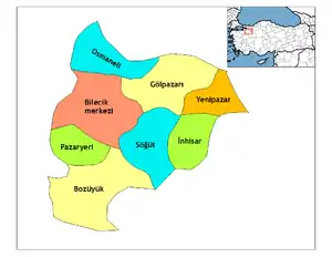 Districts of Bilecik | ||||||||||||||||||||||||||
| |||||||||||||||||||||||||||
Metropolitan municipalities are bolded. | |||||||||||||||||||||||||||